72
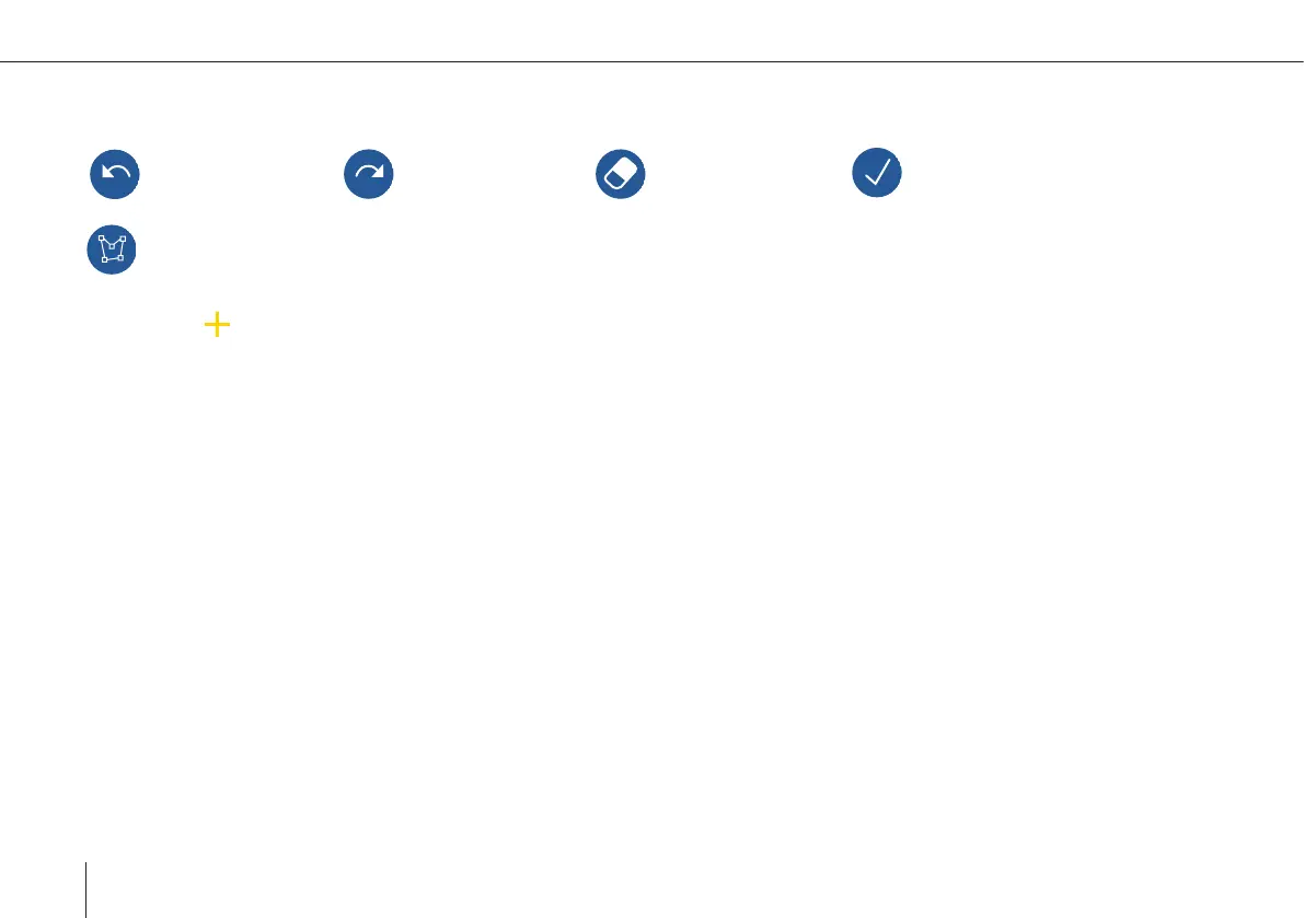
Planning an area
Undo the last change Redo the last change Delete selected point Finish editing the geometry
Start/Stop adding points
By selecting a new point between two existing points can be added.
After planning the area the settings dialog appears. You can always edit the settings by selecting the element on the left side or
in the map.
Altitude: The ight altitude is dened as the altitude above ground.
Please do not exceed the maximum altitude that is allowed for your region. This value is linked to the GSD.
Legs can be extended at the entry and the exit of the ight area. By default the legs at the entry are extended by 30 m to ensure
allignment of UAV and leg before starting to take pictures.
Flip Legs: Change the waypoint order of the area. While planning a PPK mission in QBase it is recommended to choose the
option Flip Legs for optimum PPK quality. This option is necessary so that the rst waypoint is as far away as possible from the
Home Waypoint.
Invert Legs: Change the entry and exit direction on a leg.
Optimize Leg Sequence: Optimize the leg order based on turn radius of the UAV and the current leg distance.
Cross Legs: Create additional legs perpendicular to the main legs.
Above Max. Area Altitude:
The ight is perfomed on a constant ight altitude (MSL). The altitude is based on the max. area terrain
elevation.