63
Mission Operation
Orientation Display
• Gimbal settings
• UAV heading
• Wind direction and strength
• Gimbal azimuth and eld of view
• Direction and distance to home (text “DHome”)
• Gimbal elevation (0° – 90°)
Target Information
• Current sensor center position
• FLT: Flight time since take-off
• LAT, LON: WGS84 coordinates of the current sensor center
• RNG: Ground range from current UAV position to current
sensor center
• SR: Slant range from current UAV position to current sensor
center
• ELV: Elevation of current sensor center with respect to MSL
• AGL: Altitude above ground of UAV
• MSL: Altitude above sea level of UAV
Map Screen
Reducing functionality of the map screen.
Switch to full map
Hide / show full map
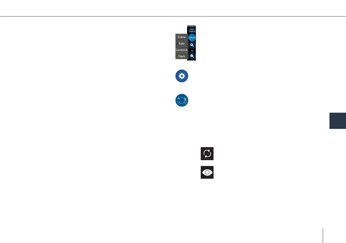
Controlling the Sensor
See chapter 8.2.5 – 8.2.8
Sensor Setting
See chapter 11.5
Decluttering
Reducing the amount of information displayed in
the sensor view.
8