94
Geographical Inuence
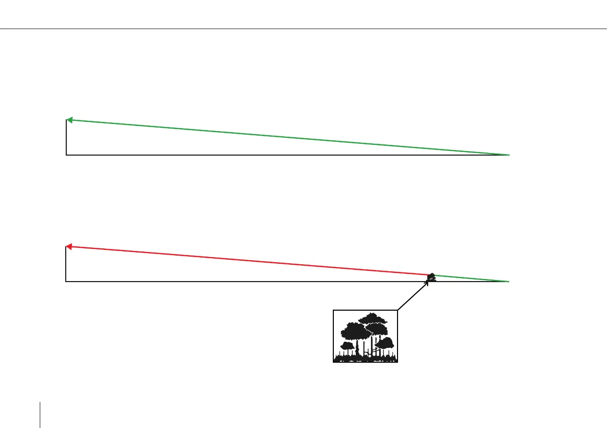
When ying long distance missions, it is important to recognize the scale of the geographical inuence. Below graphic is a true
to scale representation of the distance, altitude and angle of a long-distance radio signal path (simplied without Fresnel zone).
The angle of the signal path is very low, therefore objects in the way can have big negative impact on the signal strength
(e.g. trees close to the ground radio).
At such distance, the earth’s curvature can decrease the effective height of the antennas. Think of the horizon you can see at the
seashore. It is roughly 5km (or ~3 miles) away from the viewer. At 20m above ground this distance increases only to 17km (~11
miles). Having this in mind regarding antenna positions (either y high, or mount ground radio on antenna pole) can greatly
increase performance.
200 m
2500 m
2500 m
200 m