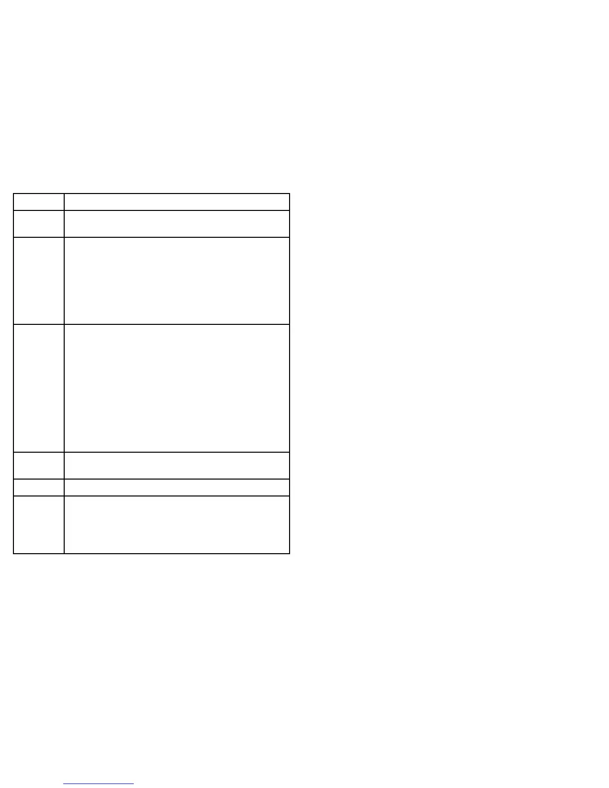
ItemDescription
1
Skyview—avisualrepresentationofthepositionoftracked
satellites.
2
Satellitestatus—displaysthesignalstrengthandstatusof
eachsatelliteidentiedintheskyviewdiagramontheleftofthe
screen.Thecoloredbarshavethefollowingmeanings:
•Grey=searchingforsatellite.
•Green=satelliteinuse.
•Orange=trackingsatellite.
3
HorizontalDilutionofPosition(HDOP)—ameasureof
GPSaccuracy,calculatedfromanumberoffactorsincluding
satellitegeometry,systemerrorsinthedatatransmissionand
systemerrorsintheGPSreceiver.Ahigherguresigniesa
greaterpositionalerror.AtypicalGPSreceiverhasanaccuracy
ofbetween5and15m.Asanexample,assumingaGPS
receivererrorof5m,anHDOPof2wouldrepresentanerror
ofapproximately15m.Pleaserememberthatevenavery
lowHDOPgureisNOguaranteethatyourGPSreceiveris
providinganaccurateposition.Ifindoubt,checkthedisplayed
vesselpositioninthechartapplicationagainstyouractual
proximitytoaknownchartedobject.
4
Fixstatus—indicatestheactualmodetheGPSreceiveris
reporting(NoFix,Fix,DFixorSDFix).
5
Mode—themodecurrentlyselectedbytheGPSreceiver.
6
Datum—TheGPSreceiver’sdatumsettingaffectsthe
accuracyofthevesselpositioninformationdisplayedinthechart
application.InorderforyourGPSreceiverandmultifunction
displaytocorrelateaccuratelywithyourpapercharts,theymust
beusingthesamedatum.
TheaccuracyoftheGPSreceiverdependsontheparameters
detailedabove,especiallytheazimuthandelevationangleswhich
areusedintriangulationtocalculateyourposition.
80e7/e7D—Installationinstructions

 Loading...


