Depth palette
Controls the Depth palette used on the map.
Paper chart
Changes the appearance of the map to a paper chart style.
Safety depth
Jeppesen charts use different shades of blue to distinguish between shallow (lighter shades)
and deep (darker shades) water. After enabling Safety depth, specify the desired safety depth
limit. The Safety depth sets the limit at which depths will be drawn without blue shading.
Depth filter
Filters out depth values shallower than the selected depth filter limit.
Shading
Shades different areas of the seabed, depending on the selected Shading category.
Ú
Note: Composition and Vegetation shading are not applicable to Jeppesen charts.
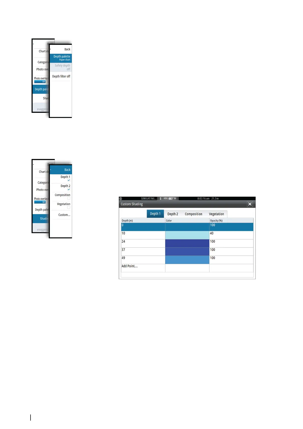
Depth 1 and Depth 2
Depth presets that shade different depths in different colors.
Custom
You can adjust the depth threshold, color and opacity (transparency) of color shading for
Depth 1 and Depth 2.
3D exaggeration
Graphical settings that are available in 3D mode only. Exaggeration is a multiplier applied to
the drawn height of hills on land, and troughs in water to make them look taller or deeper.
Ú
Note: This option is grayed out if the data is not available in the map card inserted.
34
Charts | NSS evo2 Operator Manual