75
Using the GPS Function
Activating the GPS function
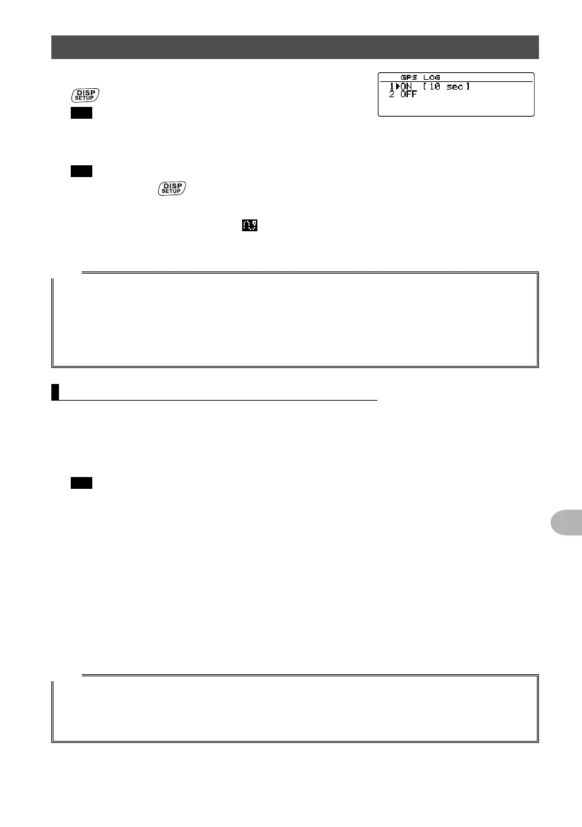
4 Rotate the DIAL to select [1 ON [xx sec]], then press
.
Tip The default setting: 2 OFF
5 Rotate the DIAL to select the interval for saving the location information.
“1 sec”, “2 sec”, “5 sec”, “10 sec”, “30 sec”, “60 sec”
Tip The default setting: 10 sec
6 Press and hold for over one second.
Sets the interval for saving the location information and returns the display to the
previously viewed screen. The
icon lights up on the screen.
Starts saving the location information at the set interval.
Tips
• The location information is periodically saved until the power to the transceiver is switched OFF or
when “OFF” is selected in step 4.
Saving of location information resumes under the same file name when the transceiver is turned
OFF and then ON again within the same day, or when the saving interval is selected again in step 5.
• The data is saved under the filename “GPSyymmdd.log”.
The portion “yymmdd” indicates the saving start time in “yy” (year), “mm” (month), and “dd” (day).
Checking the route using a personal computer
The route can also be displayed on a computer with commercially available mapping
software using the log data of the saved location information.
1 Turn off the transceiver.
2 Remove the micro-SD memory card.
Tip Refer to “Removing the micro-SD memory card” on page 32.
3 Insert the micro-SD memory card into the personal computer using an appropriate
memory card reader.
4 Open the “FTM100D” folder located on the micro-SD memory card.
5 Open the “GPSLOG” folder.
The data is saved under the filename “GPSyymmdd.log”.
The portion “yymmdd” indicates the saving start time in “yy” (year), “mm” (month),
and “dd” (day).
6 Import the data into the mapping software.
The route will be displayed on the map.
Tips
• Refer to the operating manual of the mapping software for instructions on how to import and display
the route data on the map.
• The location information can also be used by connecting the transceiver directly to a computer. See
“Connecting an external device” on page 108.
 Loading...