CHAPTER 19: Finding Your Way With Maps
395
Traffic
Much of the information you see in Google Maps comes from contracts with third
parties, and the traffic information is no exception. Traffic information is only available
for large cities, and it’s shown by color-coding the roads. Green indicates smooth traffic,
yellow indicates delays, and red indicates major snarls. Traffic information can change
rapidly, so don’t expect absolute accuracy. It’s also difficult (and dangerous) to check
while you’re actually on the road.
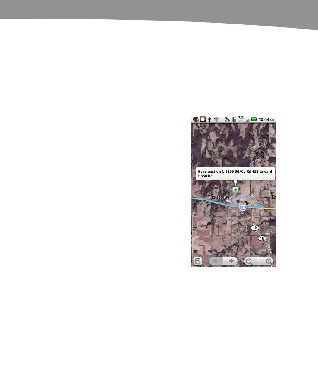
Satellite
Satellite info comes from a variety of third-party
imaging sources as well as Google, and those photos
are stitched together and superimposed on the map
information. An example is shown to the right.
The images are usually great, but sometimes the
stitching process distorts the image. Consequently,
there are times when an address appears to be in the
wrong location, and you’ll notice patches of ground
with different image quality.
Satellite images are also not necessarily up to date.
The photos for any given area could be several years
old. Google will often buy new images when
something major happens in an area, such as
Hurricane Katrina, the BP oil spill, or the earthquake
in Haiti, but don’t be surprised if the satellite image of
your house doesn’t include your recently built garage.
Buzz
Google Buzz is a social networking service. You can make posts in Google Buzz that
include your location information, and that adds your post to the Buzz layer on Google
Maps. Using this layer, you can see Buzz posts that were made nearby. The Google
Buzz layer shows those posts as little quote bubbles over the map. Tap a quote to see
the post.
 Loading...