v.early.1.03 – published on December 20, 2021
87
PHOTOGRAMMETRY MISSIONS
About photogrammetry
According to the American Society for Photogrammetry and Remote Sensing
(ASPRS), photogrammetry is the science and technology of obtaining reliable
information about physical objects and the environment through the process of
recording, measuring and interpreting photographic images.
The ASPRS was created in 1934, but the field of photogrammetry has since greatly
benefited of the emergence of flying cameras such as Parrot drones. One of the leaders of
the field is Pix4D, which became a Parrot Group company in 2012.
ANAFI Ai and FreeFlight 7 therefore embark Pix4D technologies which enable existing
Pix4D users to seamlessly link their drone to their Pix4D account. New users can use
ANAFI Ai to discover Pix4D photogrammetry services, through three offered mapping
missions.
There are four types of photogrammetry mapping missions: Simple, Double, Circular and
Automatic.
This section describes the specificities of each mission, and the way to program them.
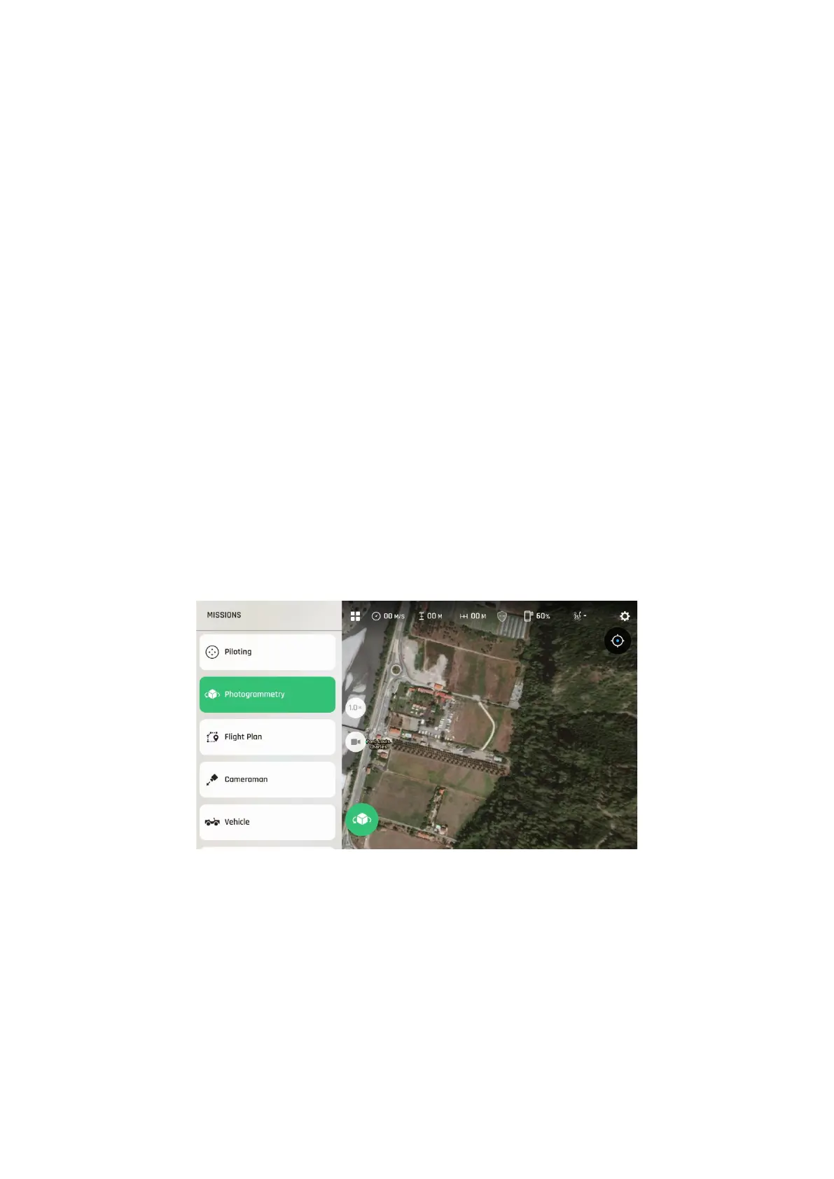
To launch a photogrammetry flight, select “Photogrammetry” through the Missions
selection menu of FreeFlight 7.
FreeFlight
7
mission selection menu