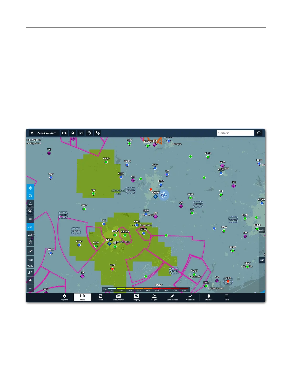
Turbulence (ADS-B)
The Turbulence (ADS-B) weather layer is included with all subscriptions when connected to
Sentry (or another supported ADS-B receiver). Turbulence (ADS-B) is an NWS forecast map
layer with a look-ahead range of 150 nm to 250 nm.
Turbulence (ADS-B) displays the forecast eddy dissipation rate (EDR) (i.e., turbulence
intensity) based on a medium aircraft weight category. Turbulence is depicted at every 2,000
feet to 24,000 feet MSL using the altitude slider on the right side of the map. Turbulence (ADS-
B) data is available only in the continental United States. Tap Auto above the altitude slider to
automatically display forecast turbulence intensity at your GPS altitude.