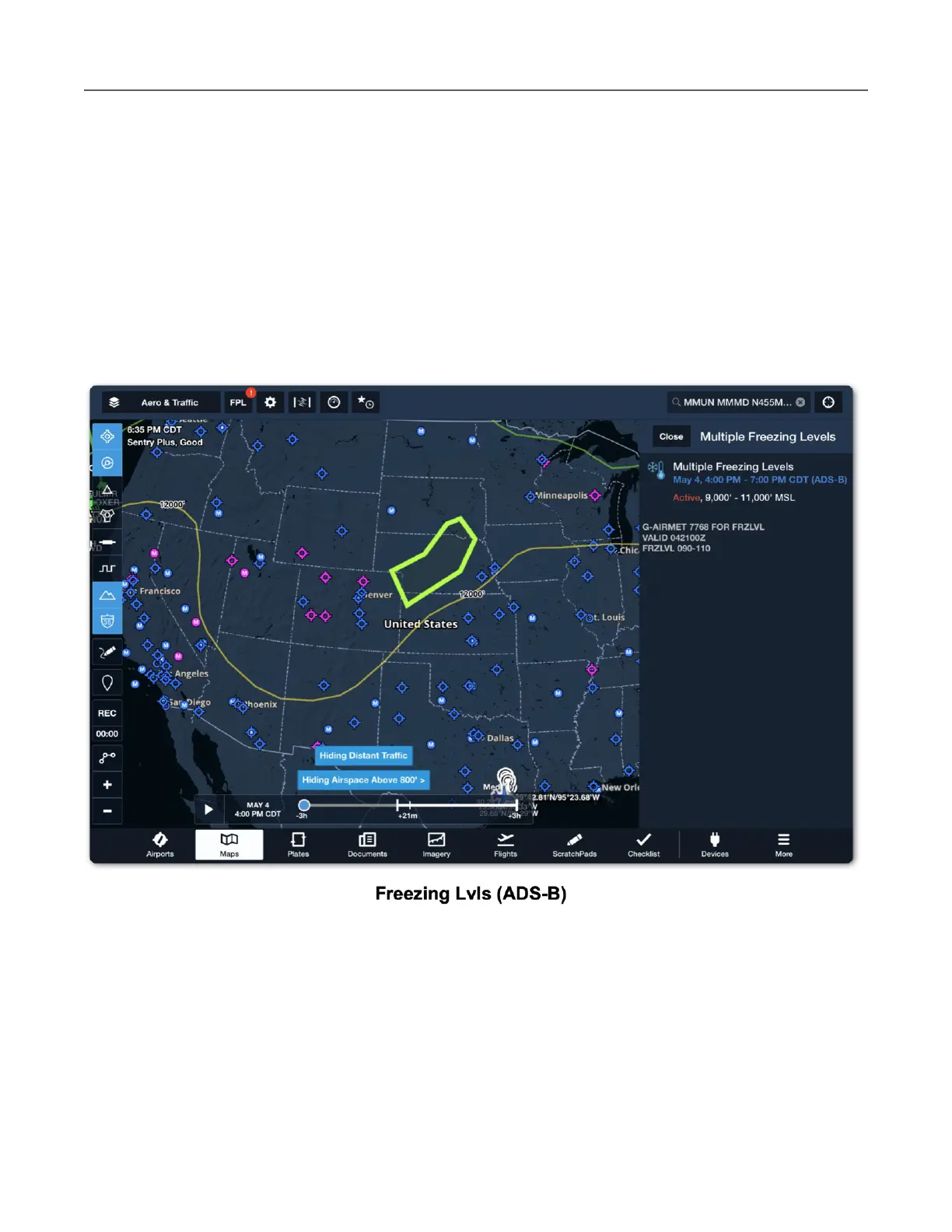
Freezing Lvls (ADS-B)
The Freezing Level (ADS-B) layer is included with all subscriptions when connected to Sentry.
The map layer provides a graphical representation of freezing levels across North America.
Freezing levels are delineated with color-coded lines at 4000 feet intervals (MSL) up to 24,000
feet (MSL).
If there are multiple freezing levels for a region, a shaded polygon is displayed on the map. Tap
the polygon to display additional details. Freezing level forecasts are generated every three
hours and automatically updated in ForeFlight.