108
©
2022 DJI All Rights Reserved.
MATRICE 30 SERIES User Manual
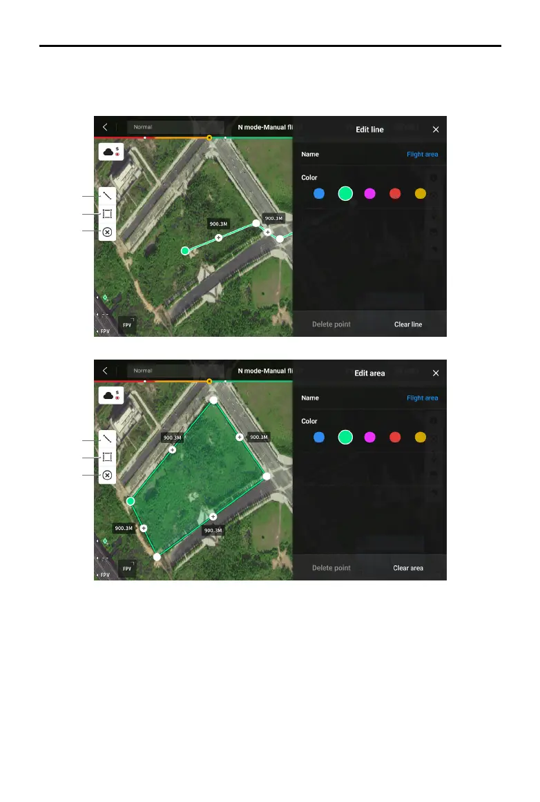
Line and Area Annotation Management
Users can draw lines and areas on the map for synchronizing key information of roads and land.
1
2
3
1
2
3
1. Tap to display the Edit Line view.
2. Tap to display the Edit Area view.
3. All the point, line and area information can be viewed on the map. Tap this icon to delete the
information.
 Loading...