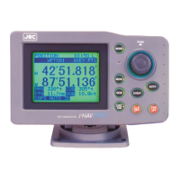
GPS Navigator J-NAV500
33
COG
Course over ground (unit: )
“t” indicates true bearing and “m” indicates magnetic compass corrected value.
SOG
Displays the average speed (speed over ground) in kt (knots), mh, kh
CDI Range
Displays 0.1 (default), 0.3, 0.5 nm depending on setting.
(See Section 4.15, “Setting CDI range and Display Time Format.”)
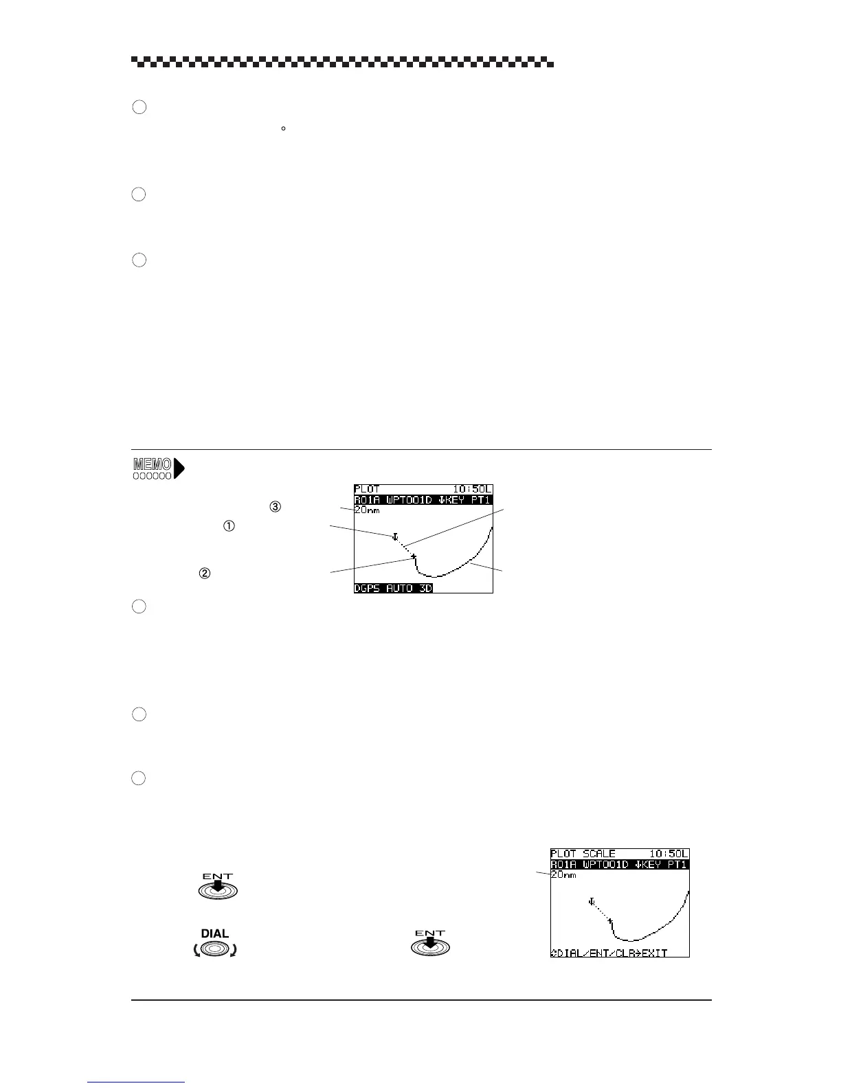
4.5.4 PLOT display mode and setting the plot scale
1. PLOT display mode
This display mode offers a graphic representation of track line and the direct route from the vessel to a
waypoint.
The data displayed in the different display modes can be changed in the menus.
Plot scale
Waypoint symbol
Current position mark
Waypoint and direct route of ship
Ship track line
Waypoint symbol
Displays the first character in the registered waypoint name. The waypoint symbol can be turned on
(default value) or off.
(See Section 4.16, “Setting Plotting Information.”)
Current position mark
A “+” mark shows the current position of the ship.
Plot scale
The plot scale can be set in 10 steps between 0.125 nm to 100 nm. Scale refers to the size of the
horizontal area that the display shows.
2. Setting plot scale
(1) Press in the [ PLOT ] display mode.
This action displays the [ PLOT SCALE ] selecting mode.
(2) Turn to select plot scale and press .
This action returns to the [ PLOT ] display.
Setting scale: 0.125 (default), 0.25, 0.5, 1, 2, 5, 10, 20, 50, 100 nm
Plot scale
2
3
4
1
2
3
 Loading...

