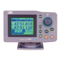
GPS Navigator J-NAV500
45
1. Display operations
• Press in the [POSITION] display mode.
• To return to the [POSITION] display mode, press .
Display example
2. Setting
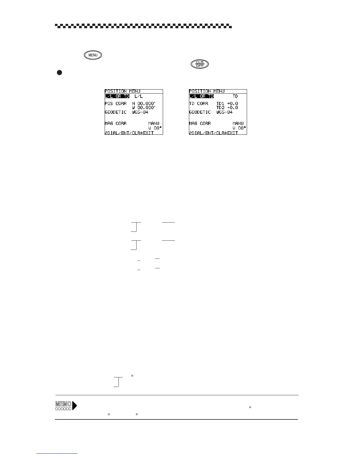
(1) Display format
The [POSITION] display mode can be set to one of the following display formats.
L/L OR TD
L/L
: latitude, longitude display (default)
TD
: Time Difference display
(2) Position correction
Use this function to adjust the positioning GPS/DGPS sensor to marine chart.
POS CORR
N 00.000’
for latitude correction (in L/L display format)
S
POS CORR
W 00.000’
for longitude correction (in L/L display format)
E
TD correction
TD1
+
0.0
for TD1 correction (in TD display format)
TD2
+
0.0
for TD2 correction (in TD display format)
(3) Geodetic system correction
The latitude and longitude of the positioning data can be converted to latitude and longitude data
of another geodetic system. There are a total of 46 geodetic systems. The names of the first nine
systems are displayed by name and the rest are displayed by number. The names of the other
geodetic systems are listed in Appendix B, “Geodetic System Table.”
GEODETIC See Appendix B, “Geodetic System Table.”
(4) Magnetic compass correction
Magnetic compass correction
AUTO
(Automatic magnetic compass correction)
MANU E
00 (Manual magnetic compass correction)
W
In a manual setting, it is possible to read the magnetic compass variation from the compass chart of
a marine chart. Example: When the magnetic compass shows a reading of 60
and the navigator
indicates 40 , the (W) 20
difference can be used to correct the navigator setting.
[Latitude, Longitude display] [Time Difference Display]
 Loading...

