40
Reference section 1 — Using the Chart Screen
Using the course predictor line
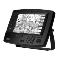
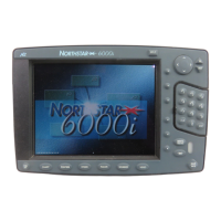
Northstar 6000i
the cursor pad to display the option you
want. Press ENTER to lock in the selection.
Press Return twice to return to the CHART
screen.
Using the course predictor line
The chart, 3D steer, and radar screens also
display a course predictor line that indi-
cates where your vessel will be in a few
minutes if you maintain your current
course and speed. The predictor line
extends out from your vessel in the direc-
tion of your Course Over Ground. Its
length is determined by your speed and
the number of minutes you specify on the
Navigation Setup Options screen. You can
also turn the line off. The line never
extends beyond 100 nm.
To use the predictor line, simply select the
number of minutes you prefer the line to
represent as follows:
1. Press
STAR several times to display the
OPTIONS/SERVICE INFO screen.
2. Press Navigation options.
3. Select the Predictor Line using the cur-
sor pad.
4. Press Edit.
5. Use the cursor pad to display the desired
line length.
6. Press ENTER.
Then, just watch the predictor line on the
chart, 3D steer or radar screen to deter-
mine where your current course will take
you.
Using the distance and bearing calculator
You can quickly check the distance and
bearing between any two points on the
CHART screen. You can also use this
function to make new waypoints that you
define by their distance and bearing from
another point.
1. Press WAYPTS/ROUTES.
2. Press Distance and Bearing.
The 6000i displays your present position at
the center of the
CHART screen with the
cursor directly over it.
3. Press the cursor pad to move the cursor
to the first location.


 To Next Page