Configuration using Web Based Management and Command Line Interface
4.2 The System menu
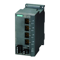
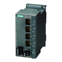
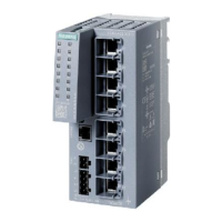
SCALANCE X-300 / X-400
60 Configuration Manual, 10/2014, C79000-G8976-C187-22
Here, you enter the value of the northern or southern latitude of the location of the device.
For example, +49° 1´ 31.67" means that the device is located at 49 degrees, 1 minute and
31.67 seconds north.
A southern latitude is indicated by a preceding minus sign.
You can also append the letters N’ (north) or S’ (south) after the numbers (49° 1´ 31.67" N).
Here, you enter the value of the eastern or western longitude of the location of the device.
For example, +8° 20´ 58.73" means that the device is located at 8 degrees, 20 minutes and
58.73 seconds east.
A western longitude is indicated by a preceding minus sign.
You can also append the letters O’ or E’ (east) or W’ (west) after the numbers
(8° 20´ 58.73" E).
Height (geographic height)
Here, you enter the value of the geographic height above seal level in meters.
For example, 158 m means that the device is located at a height of 158 m above sea level.
Heights below sea level are indicated by a preceding minus sign.
Entering the geographic coordinates
The values for the geographic coordinates can be entered in the text boxes, for example
● as degrees with minutes and seconds in the formats:
DD°MM.MMM´, DD°MM´SS, DD°MM´SS.SSS
● in degrees in decimal format: DD.DDD°
● with or without a sign or with the letter S; N, E (or O) and W appended
Syntax of the Command Line Interface for the geographic coordinates
Table 4- 13 Geographic coordinates - CLI\SYSTEM\GEO>
info Displays the current status of the geographic coordi-
-
lat [string] Shows/sets the geographical latitude coordinate. Administrator only.
Shows/sets the geographical longitude coordinate.
height [string] Shows/sets the geographical height coordinate. Administrator only.
 Loading...