Page 15
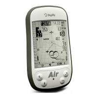
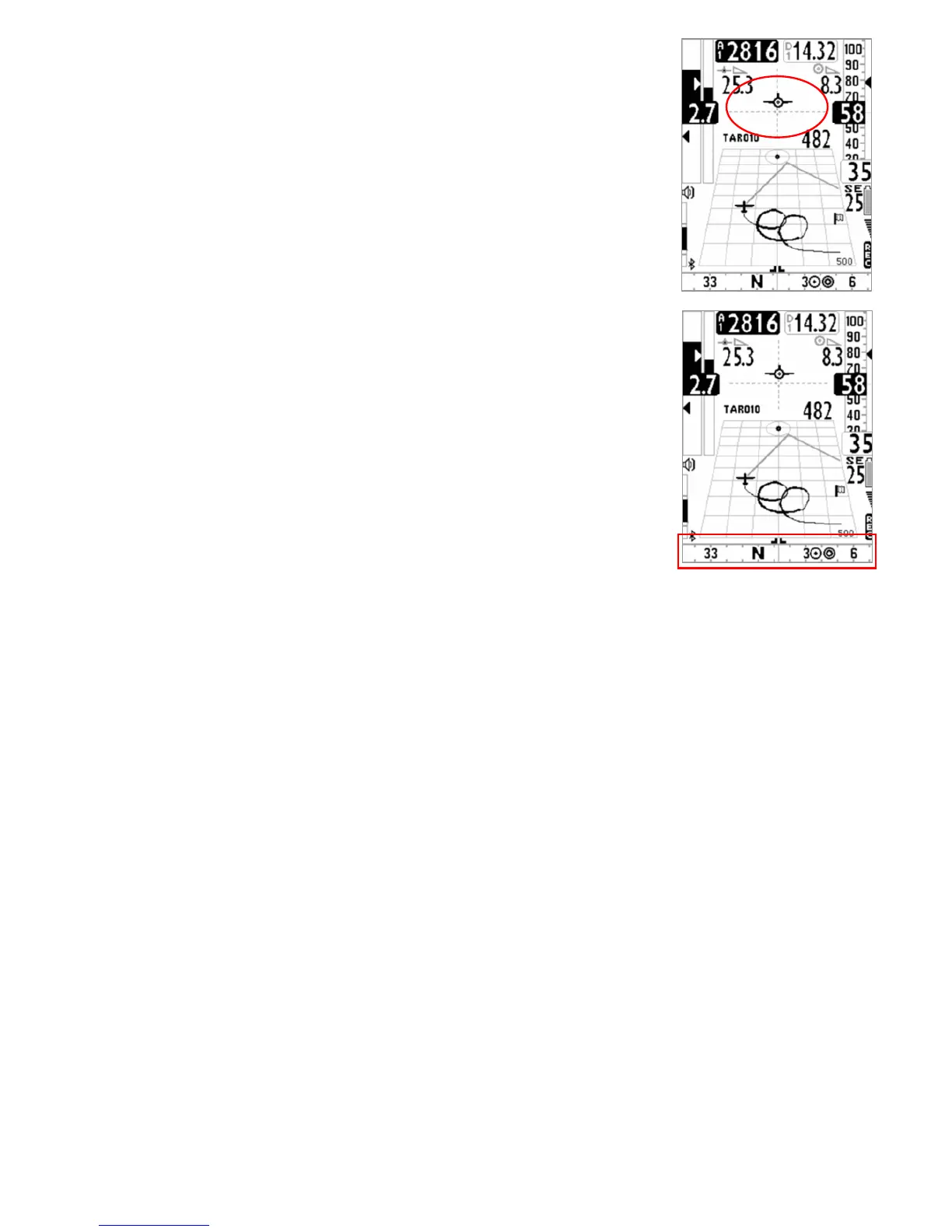
3.3.5 HSI NAVIGATION (PLOTTER PAGE)
In the center part is shown the HSI, a graphical navigation tool made by two
dashed lines that intersect each other indicating the current WPT and its real
height. Flying towards the center of the WPT cylinder, the airplane icon moves
right or left of the dashed vertical line in case of rong route and up or down the
dashed horizontal line telling us the arrival height with the current gliding ratio
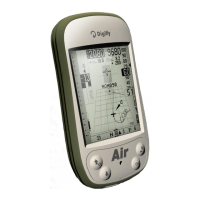
3.3.6 SLIDING COMPASS NAVIGATION (PLOTTER PAGE)
In the plotter page is visible a scrolling compass containing navigation
informations via icons.
If GPS signal is good the direction is the TRK of GSP track, otherwise is visible
the internal magnetic compass.
 Loading...