Page 65
16.3.3 GPS FUNCTIONS
Integrated high sensitivity GPS receiver 99 channels and 10hz
Latitude, Longitude, Altitude GPS, Direction GPS (TRK), Ground Speed GPS
Efficiency (Glide Ratio) related to the ground (with GPS ground speed).
Wind speed and direction indicator (with GPS)
Direction and distance to the last thermal
HSI graphic navigation function
"Follow Me" Navigation function
"GOTO HOME" Navigation function
"GOTO LANDINGS" and "GOTO NEAREST" Navigation functions
Direction, distance, height, efficiency and time to the current Waypoint.
Direction, distance, height, efficiency and time to the GOAL
Optimized navigation management with shortest path indications and Glide calculator
Real Time Navigation Manager with skip waypoint function
Automatic FAI cylinder turn point and Start Pylon validation (visual and acoustic).
Start Pylon full management with indications of : start pilon opening time, time to opening, estimated relative
time to the Start cylinder, requested speed to arrive to the Start cylinder
Automatic Start Pylon display switching function
186 Competition Waypoints + 186 User Waypoints
12 Routes with 20 Waypoints on each Route.
Multiflight logger 3D recorder (flight data and GPS) with Autostart and Autostop
100.000 data points flight recorder: from 1800 hours (1 point per minute) to 30 hours (1 point per second)
Up to 250 recordable flights.
Controlled air spaces (CTR) management
16.3.4 GENERAL SPECIFICATIONS
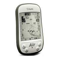
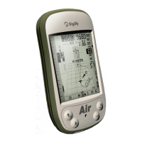
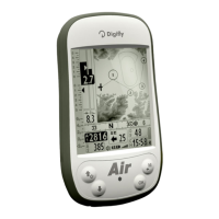
Very high resolution, gray scale, graphic LCD display 320x240 pixel
13 Graphic screens completely configurable by the user
with simple "drag & drop" using the graphical free
sofware Digifly AirPageConfigurator for PC and Mac
Free Digifly AirTools vario management software for PC and Mac
Compatible with the GpsDump free software for PC, Mac and Smartphone Android
Compatible with mostly of the competition software programs and with the Online XC Contest
USB data communication
Bluetooth data communication (AIR-BT only)
High Speed real time Digifly Telemetry data output 10 times per second via Bluetooth (AIR-BT only)
Telemetry via Bluetooth compatible with the free software XCSoar and LK8000 (AIR-BT only)
Free Firmware update via internet
14 Language for help setup
Adjustable units of measure.
Micro SD Memory Card slot
Ready for installation of the optional Pitot tube and sensor kit
Ready for installation of the optional GSM LiveTracking module for mobile sim card
Input for external power supply
Integrated battery charger via mini USB
Battery life 30 hours with the integrated rechargeable lithium battery
Dimensions (H x L x D) 154mm x 90mm x 18mm
Weight (with battery) 180g
The Digifly AIR instruments are supplied with protective case, rechargeable internal lithium battery, wall adapter
charger (110-220Vca 50-60Hz) and USB cable
Three years warranty.
 Loading...