Garmin GPSMAP 695/696 Owner’s Manual
190-00919-00 Rev. G
129
Hazard Avoidance
Overview GPS Navigation Flight Planning Hazard Avoidance Additional Features Appendices Index
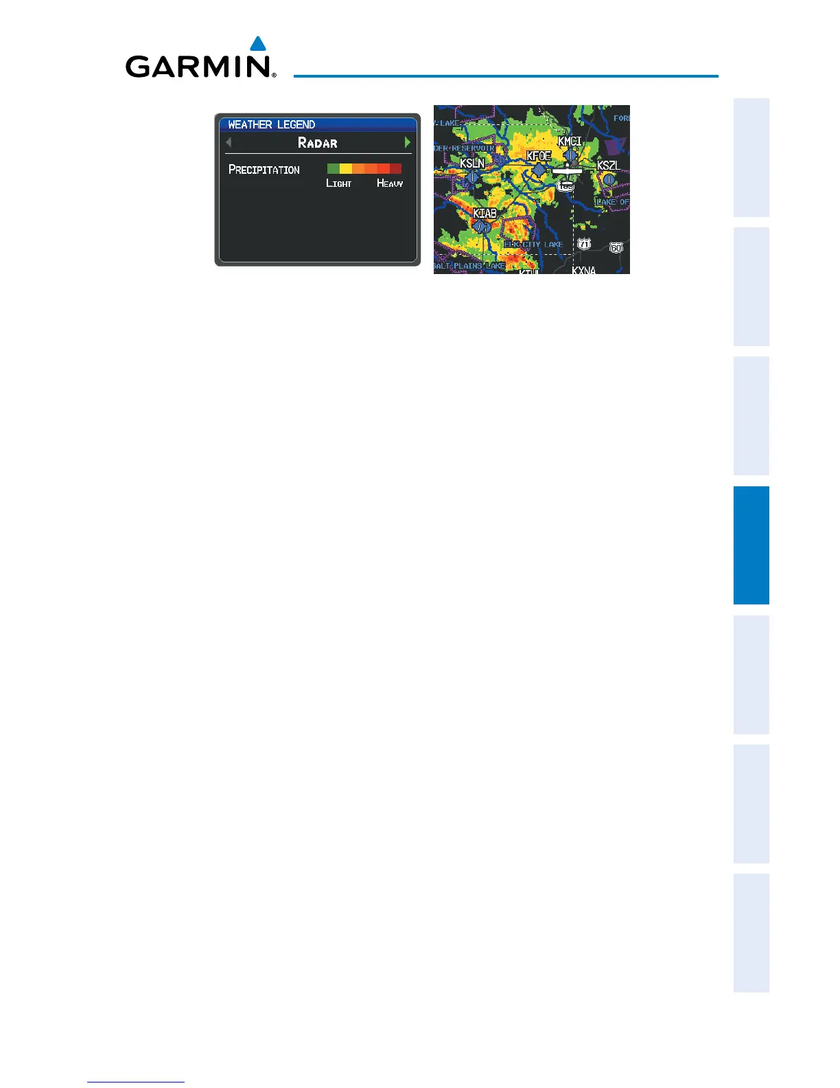
NEXRAD DataRADAR Legend
fis-b rAdAr prodUcts
FIS-B weather provides two different Radar products, CONUS and Regional. The
system can display each individually or a composite (COMBINED). When Regional
Radar is displayed, only precipitation for your current region is displayed. The subdued
(grayish-purple colored) area represents the area not covered by the regional radar
product. When Combined radar data is viewed, Regional Radar data is displayed on
top of CONUS data and the time shown in the lower left corner is associated with
Regional Radar data only.