Garmin GPSMAP 695/696 Owner’s Manual
190-00919-00 Rev. G
132
Hazard Avoidance
OverviewGPS NavigationFlight PlanningHazard AvoidanceAdditional FeaturesAppendicesIndex
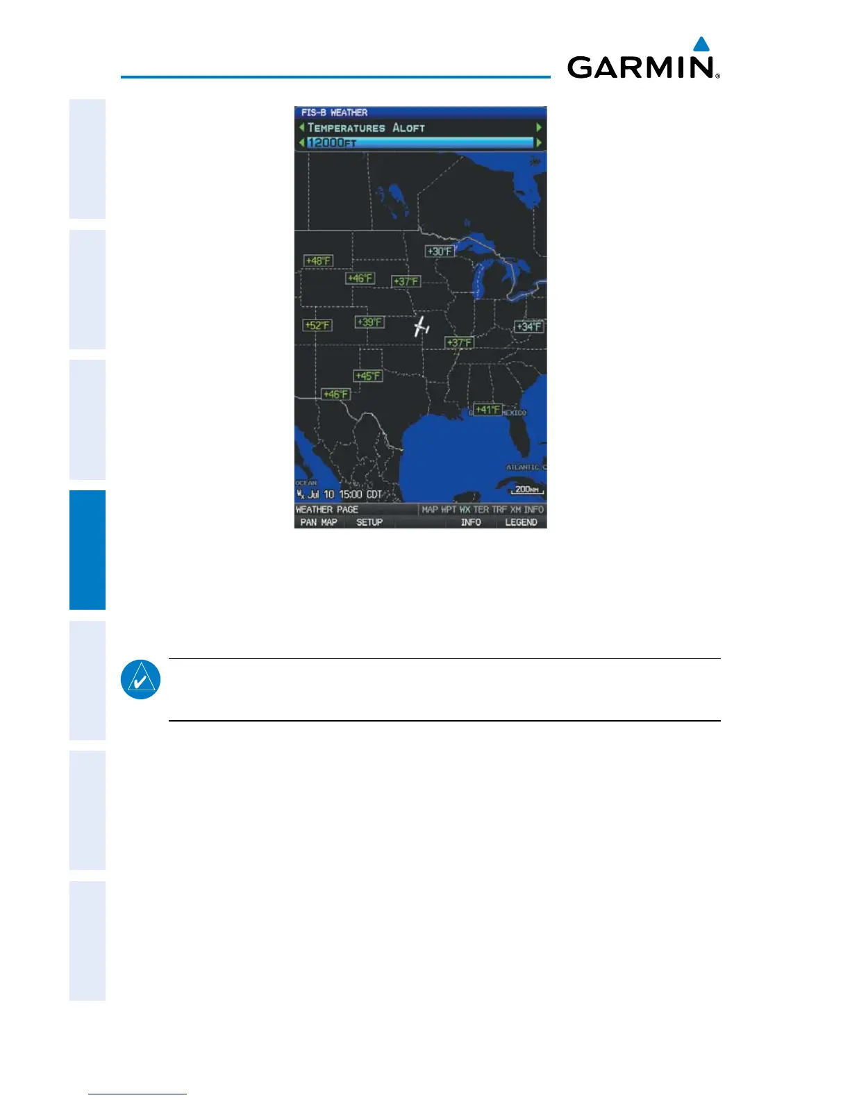
Temperatures Aloft
METARS AND TAFS
NOTE:
METAR information is only displayed within the installed navigation
database service area.
METAR (METeorological Aerodrome Report) is an international code used for
reporting weather observations. METARs are updated hourly or as needed. METARs
typically contain information about the temperature, dewpoint, wind, precipitation,
cloud cover, cloud heights, visibility, and barometric pressure. They can also contain
information on precipitation amounts, lightning, and other critical data. If METAR data
is available for an airport, a color-coded flag is shown next to the airport.
TAF (Terminal Area Forecast) is the standard format for 24-hour weather forecasts.
TAFs may contain some of the same code as METAR data. It typically forecasts
significant weather changes, temporary changes, probable changes, and expected
changes in weather conditions.