90
The Road Design menu contains the alignment design functions.
17.1.1 Define Horizontal Alignment (Maximum data quantity: 30)
Horizontal alignment data can be edited manually or downloaded from computer. Horizontal
alignment consisted of following elements: start point, straight line, circular curve and transition curve.
PROCEDURE
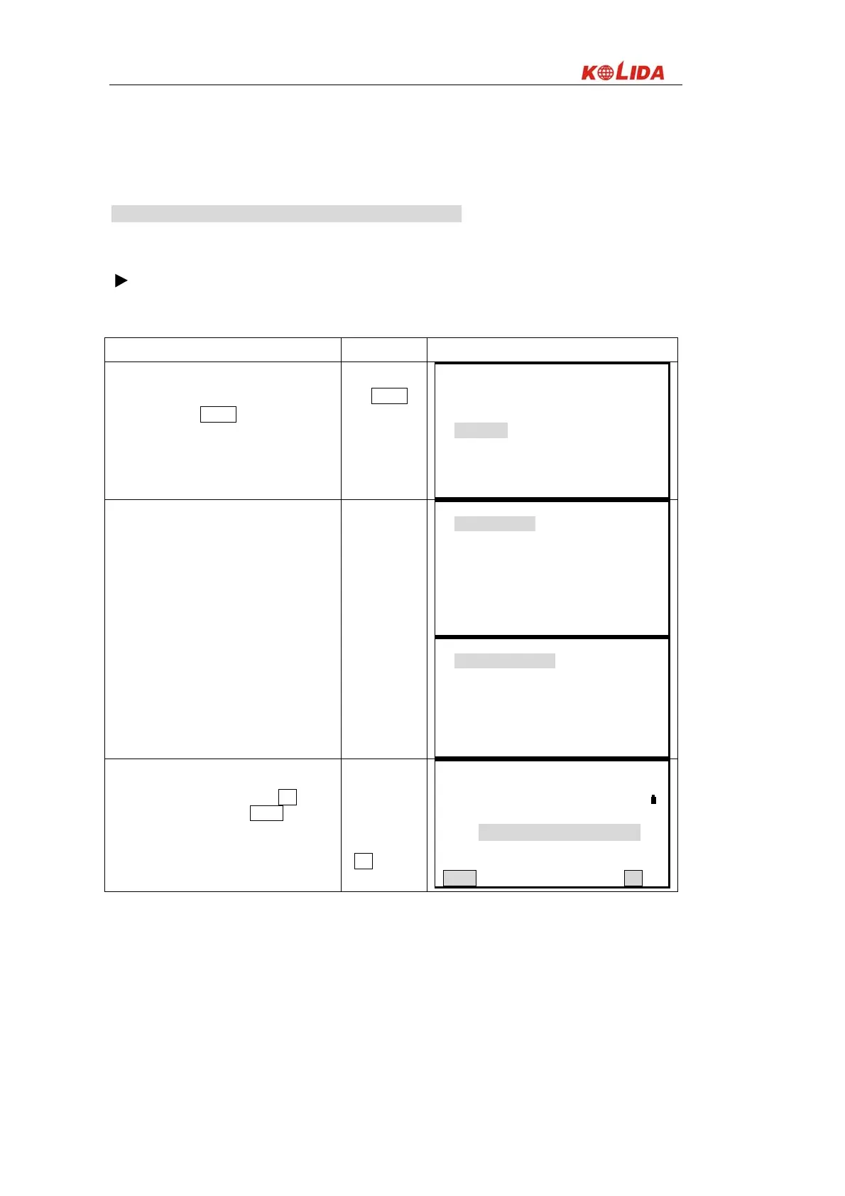
Operating Procedure Operation Display
From page 2 on ⑴ MENU, select “11. Roads.”
MENU
+“11. Roads”
Menu(2) ↑
8. Area calculation
9. Set-Out line
10. Point Projection
11. Roads
Slect “1. Define Roads” in the “Roads Menu” ⑵
and select “1. Define Alignment.”
Select“1.Define
Alignment”
Roads
1. Define Roads
2. Set-Out Roads
Roads(1)
1. Define Alignment
2. Edit Alignment
3. Define VC
4. Edit VC
5. Receive Alignment
6. Receive VC
↓
Enter the start point information: chainage, N ⑶
coordinate, E coordinate, and pressOK.
It is also allows you to press READ to read in
the coordinate which is stored in memory.
Enter chainage,
N, E coordinate
+
OK
Define Start Point
Chain: 1000.000 3
N : 1000.000 m
E : 1050.000 m
READ OK
 Loading...