23
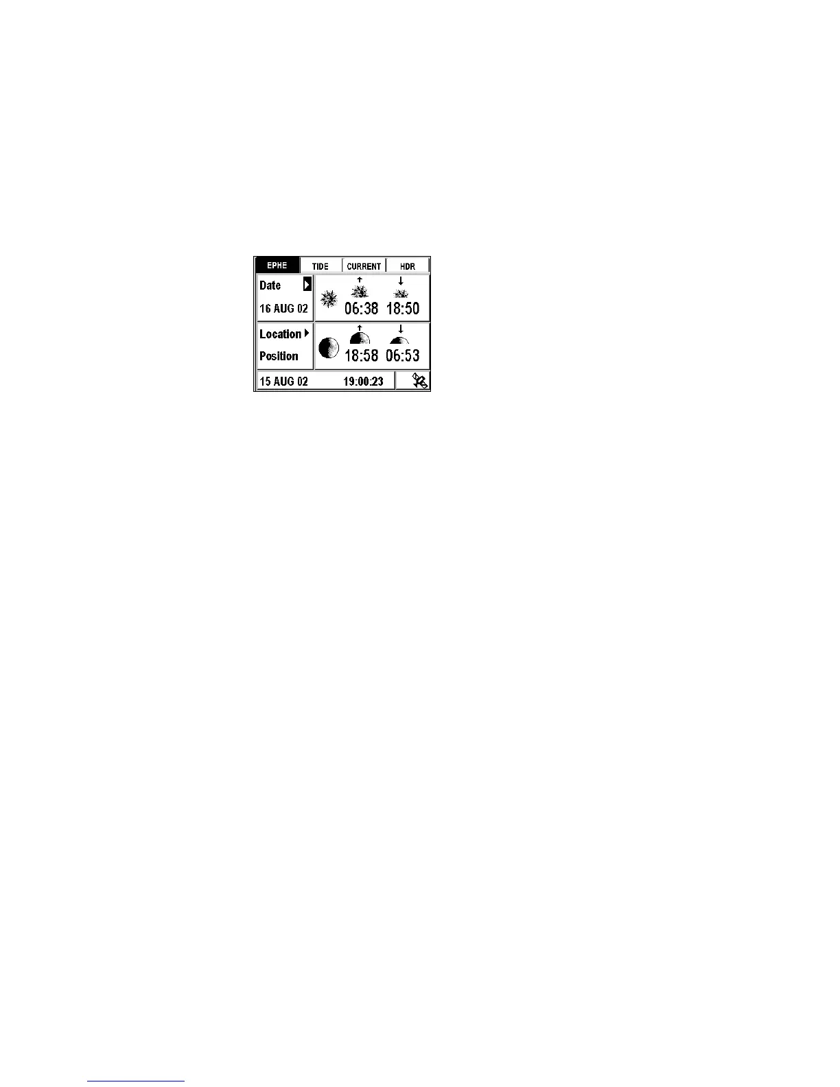
Example: The following screen displays the sunrise and sunset, moonrise
and moonset times for 16 August 2002 at your current position.
Selecting Another Date
Position Æ EPHE Tab Æ Date Æ Enter
Enter the desired date and then push Enter.
See Setting the Local Time or a Date.
Selecting Another Location
Position Æ EPHE Tab Æ Location Æ Enter
Select your current position, a waypoint from your list or a port on the
loaded chart.
See Selecting a value from a list and MapSend BlueNav Charts.
Tide Tab
This tab displays the times for high and low tides, the water height and the
coefficients for a selected date and port (coefficients are available only for
French internal ports). The displayed water heights are the ones above
the height of water at Lowest Astronomical Tide. Please note, these
values are provided as a rough guide and may vary with weather
conditions.
Example: The screen below displays the tide times, the coefficients and the
water heights for 16 August 2002 in the port of Dieppe. At 12.50
pm (time of low tide) the height of water in the port is 06.51 feet
above height of water at Lowest Astronomical Tide.