36
Note: You can view the satellites used to calculate your position at any
time. See Position Menu.
The W symbol is displayed when your GPS is functioning in
WAAS/EGNOS/MSAS mode. The S symbol is displayed when your GPS
is functioning in simulator mode. The D symbol is displayed when your
GPS is functioning in differential mode.
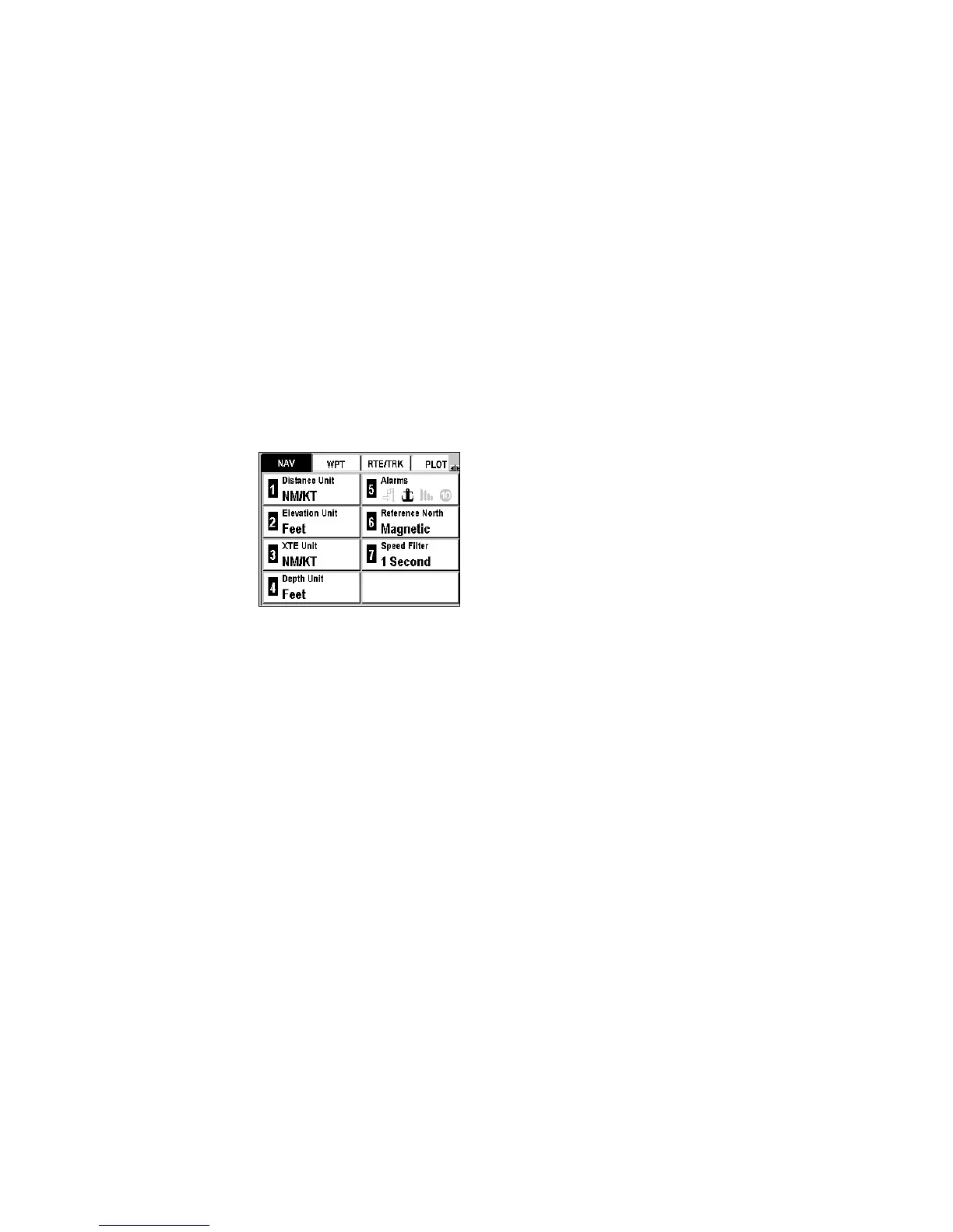
Navigation Menu
The Navigation menu is displayed directly by pushing Menu from any
Navigation screen or by selecting Menu and then the NAV Tab.
Seven options are available.
See Navigating through the Screens and Selecting Options.
Choosing Units of Distance and Speed
The Distance Unit option allows you to select the unit of measurement for
the distance and the speed.
Menu Æ NAV Tab Æ 1–Distance Unit
The available units of measurement include:
KM/KMH Kilometers and kilometers per hour
NM/KT Nautical miles and knots
MI/MPH Statute miles and statute miles per hour
Select a unit from the list and push Enter.
Choosing the Unit of Elevation
The Elevation Unit option allows you to select the unit of measurement for
your altitude.
Menu Æ NAV Tab Æ 2–Elevation Unit