GPS and Navigation
GPS
The Global Positioning System (GPS) is a space-based satellite navigation system
that provides location and time information from any location where there is an
unobstructed line of sight to four or more GPS satellites.
On the CTX 3030, GPS provides the capability to store location data relating to
FindPoints and WayPoints, and to record GeoHunts. By default GPS is turned o and
must be turned on through the Options menu (page 48).
Once GPS is enabled it may take some time for the GPS receiver to establish a valid
position x. Generally it will take less than ve minutes, but may take up to fteen.
During this time, the GPS icon on the Status Bar will ash on and o. Once a valid
position x is established the GPS icon will remain static. You can use the GeoStore
menu to record and store FindPoints, WayPoints and GeoHunts, and view them on
the Map screen.
Map
The Map screen allows you to view FindPoints, WayPoints, GeoHunts and GeoTrails
in their relative geographic locations. The map displays north-south and east-west
grid lines, centered on your current location. The upper horizontal edge of the
map display will always represent north irrespective of the detector orientation, as
indicated by the North Marker at the top right of the screen.
Navigation
The Navigation Tool allows you to navigate to a WayPoint, FindPoint or the start or
end point of a GeoHunt.
With the Navigation Tool on, select an object to be navigated to from the GeoStore
(page 44) and a Destination icon will appear on the Map or Detect screens. The
Navigation Tool will help you navigate by displaying the distance and direction to
your destination.
The Destination icon will only appear when the Navigation Tool is turned on (either
on map screen or detect screen). To turn o the Destination icon you need to turn o
the Navigation Tool.
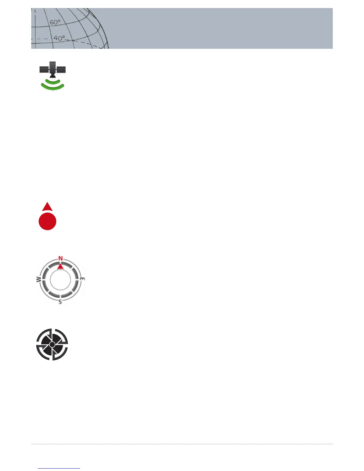
GPS Status Bar Icon
N
North Marker
Navigation Tool
Destination Icon
 Loading...