P/N 7010-0752
Chapter 1
1-1
Introduction
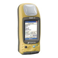
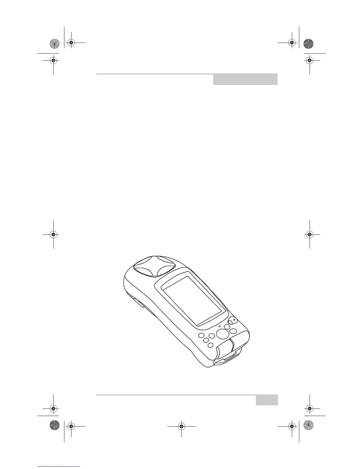
The GMS-2 receiver is a single-frequency, GPS+GLONASS L1
receiver and hand-held controller built to be the most advanced,
compact, and portable receiver for the GIS surveying market. An
integrated electronic compass and digital camera make the GMS-2 an
all-purpose, GIS field mapping unit.
The GMS-2 receiver is a multi-function, multi-purpose receiver
intended for precision markets. Precision markets means markets for
equipment, subsystems, components and software for surveying,
construction, commercial mapping, civil engineering, precision
agriculture and land-based construction and agriculture machine
control, photogrammetry mapping, hydrographic and any use
reasonably related to the foregoing.
The GMS-2 provides the functionality, accuracy, availability, and
integrity needed for fast and easy data collection.
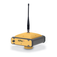
Figure 1-1. GMS-2
GMS-2_OM_Book.book Page 1 Friday, December 28, 2007 1:47 PM