Surveying with the GMS-2 (Using GMS Tools)
P/N 7010-0752
3-7
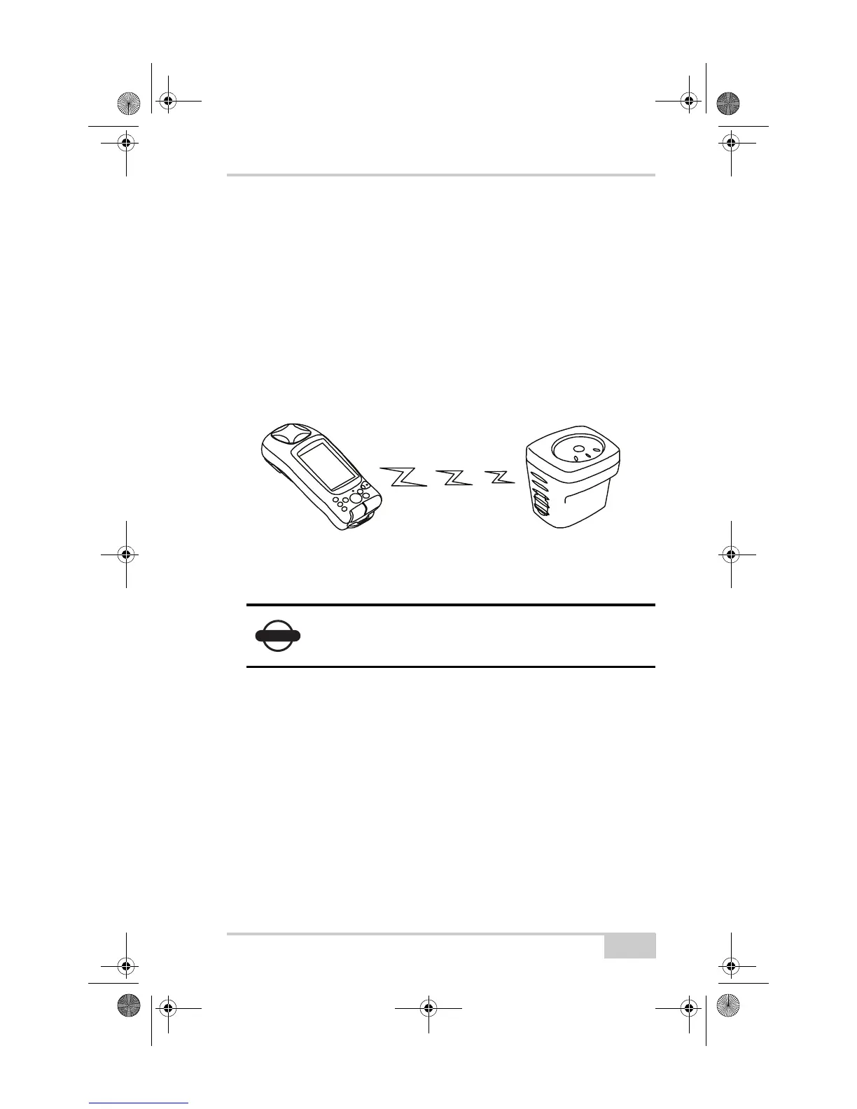
Surveying with the GMS-2 and a
Beacon Receiver
1. Complete any required pre-survey steps as described in
Chapter 2.
2. Setup the Beacon receiver according to its documentation.
3. Using BTManager, connect the GMS-2 and GPS receiver as
described in “Connecting the GMS-2 and a Bluetooth Device” on
page 3-3. In BTManager, the BR-1 would be considered an
“Uncategorized” device.
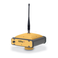
Figure 3-7. GMS-2 and BR-1 Setup
4. Configure the GMS-2 for data collection as described in the
corresponding software manual.
For example, if using TopPAD as the data collection software,
refer to the TopPAD Reference Manual.
5. Via the data collection software, begin logging data.
6. When you reach a location to record a point, pause and press the
Enter button on the GMS-2. Wait until the point is recorded
before moving to the next location.
Ensure the survey configuration is for an external
receiver.
Connect GMS-2 and
BR-1 Receiver via Bluetooth
GMS-2_OM_Book.book Page 7 Friday, December 28, 2007 1:47 PM