4–30
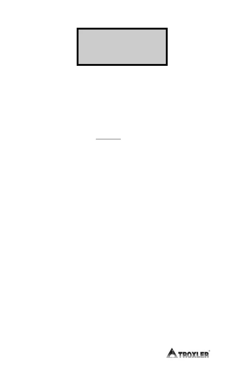
Lat: +hh mm ss.ss ↨
Lng: -hh mm ss.ss
where:
%Gmb = percent of laboratory bulk density
WD = wet density
M = moisture value
%M = percent moisture
¸
¹
·
¨
©
§
u
Voidless
WD
1100%Voids
(displayed only when enabled)
Lat = latitude
Lng = longitude
NOTE
The latitude and longitude display, showing the
location of the measurement, is available only on
Model 3440 gauges equipped with the optional GPS
and is shown only when it is enabled.
The latitude and longitude values denote the quality
of the location fix. If WAAS information is available
during a gauge measurement, the latitude and
longitude will be displayed to the nearest hundredth
(1/100) of a second.
If a GPS location is determined, but the WAAS
information is unavailable, the latitude and longitude
will be displayed to the nearest tenth (1/10) of a
second.
 Loading...
