5-2 Cruise / Enroute
5 Cruise / Enroute
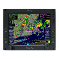
NAVIGATIONAL SITUATIONAL AWARENESS
A number of aids have been included in this system to assist your
navigational situational awareness.
Note: Do not rely upon the Entegra Integrated Flight Display
System as your sole source for navigational data or
terrain/obstacle avoidance. Use the Entegra Release 9 as a
supplement to current charts and other navigation and terrain
avoidance sources.
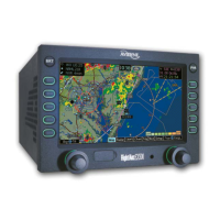
FLY THE MAGENTA LINE
From any of the Map or PFD page tabs and on half tabs, a
moving map is presented that always contains a depiction of the
entered FMS flight plan. The active or current leg is always
shown in the color magenta and enables the “fly the magenta
line” concept.
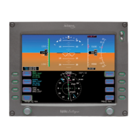
WIND VECTOR
A wind vector is displayed in the “ND box” of the “Nav Display”
and “Bug Select” tabs of the PFD page and on half page maps.
The arrow indicates the direction of the wind relative to the
current aircraft heading. Expect a several second lag after coming
out of a turn. The wind vector is useful in any phase of flight
where you need to consider winds aloft. A combination of the
wind vector and projected track line in navigation tasks can be
used. Wind speeds less than 5 knots will be displayed as “Winds
Calm”.
PROJECTED TRACK LINE
The dashed gray line that originates from the aircraft’s present
position symbol on the HSI display and maps is a projection of
the current ground track of the aircraft. By aligning the projected
track line with the desired track, you remove the guesswork from
determining proper crab angles for wind corrections.