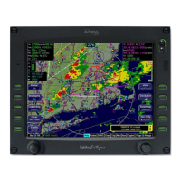
5-20 Cruise / Enroute
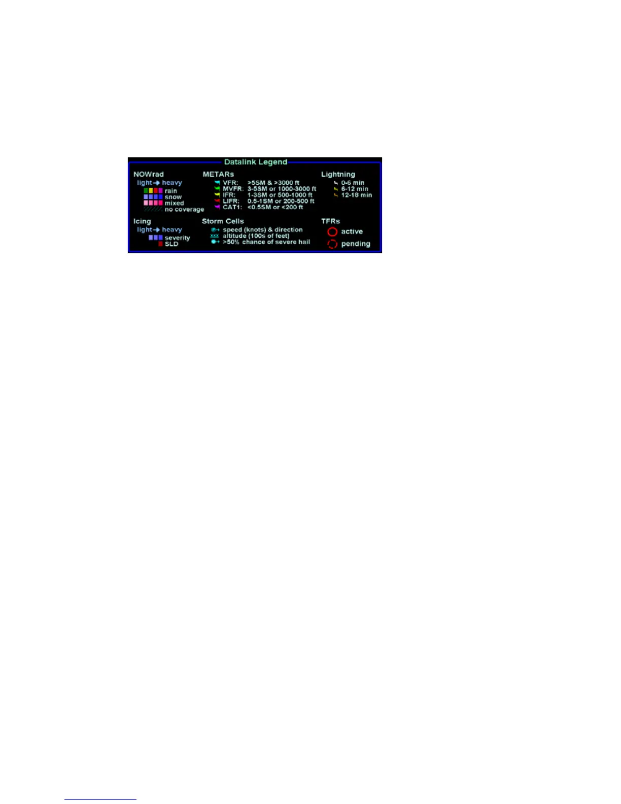
The Datalink radar is a composite image depicting precipitation
as seen by multiple ground-based weather radar sites. The
image is color-coded to show intensity levels and precipitation
types.
Weather Data Legend (Broadcast WSI Weather)
At large map ranges beyond 250nm from the aircraft, small areas
of high-intensity NOWRad returns may not be displayed; instead,
larger areas of surrounding lower-intensity NOWRad returns will
be shown. In “Wx Overlay” key in the map pages cycles through
the layer combinations that can be “turned on or off”. The options
are:
- NOWRad (if WSI datalink enabled)
- NOWRad+ (if WSI datalink enabled)
- Radar (if onboard radar enabled)
- Icing (if WSI datalink enabled)
- Icing+ (if WSI datalink enabled)
- Off
The “+” suffixes indicates display of storm cell information that
include cloud tops, directional and speed vectors, and hail
prediction.
When either of the Icing options is selected, another LSK is
presented from which the desired altitude slice of icing data can
be selected.
Depending on your Broadcast Datalink subscription, Broadcast
Datalink may provide lightning strike data, allowing the Map page
to add “Datalink” as a source of strike data that is controlled by
the “Lightning” key. The actual weather products delivered
depend on your satellite weather subscription plan and your
region of the world.