5-26 Cruise / Enroute
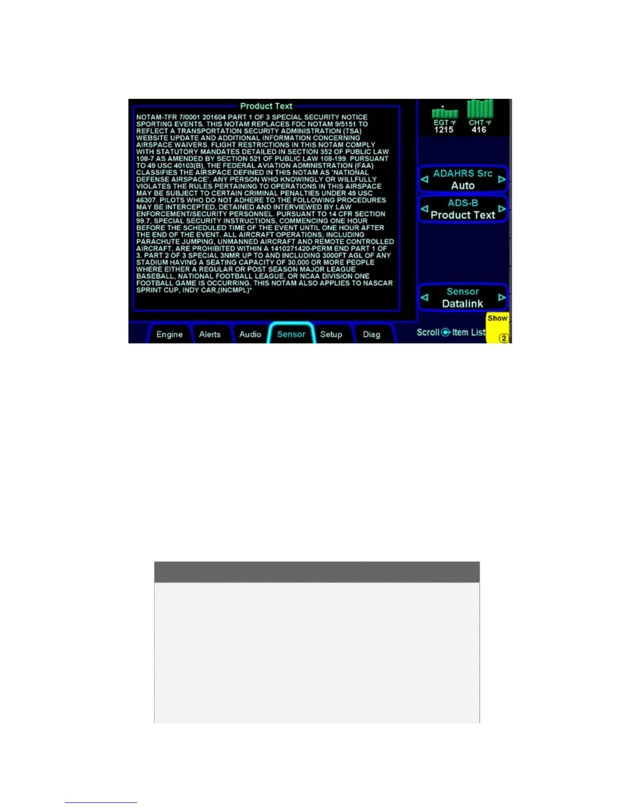
TEXTUAL DISPLAY OF TFRS
INDICATIONS OF DATA AGE
As noted above, there are multiple products that are transmitted
as part of the ADS-B network and Broadcast Datalink. They can
come in at different rates and so to provide an easy to use
indication of data age, two indications are provided at the bottom
of each map. The bottom left corner of each map depiction
provides a METAR data age and the bottom right corner provides
radar (NOWrad or WxRad) age. If a Datalink Icing product was
selected for map display via the “Wx Overlay” key, the radar age
is replaced by the icing altitude age that is currently being
displayed.
IMPORTANT NOTE
Pilots must monitor the age of the data in assessing
its reliability. The in-cockpit weather received by
either Broadcast Datalink or the ADS-B network
depicts where the weather WAS, not where it IS.
The age indicator does not show the age of the
actual weather conditions but rather the age of the
mosaic image. The actual weather conditions could
be up to 15 to 20 minutes OLDER than the age