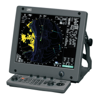
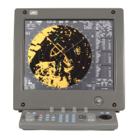
3.6.3 Edit User Map (Edit User Map)
Manually entering the own ship position (Own Ship Position)
Use this function when editing navigation data for a location different from the own ship
position.
Procedures 1 Open the Mark Operations menu by performing the following menu
operation.
Plot
→ 2. Mark Operations
2 Press the [1] key.
The latitude / longitude input menu for Own Ship Position menu will appear.
3 Enter a latitude / longitude value.
For how to enter a value on the latitude / longitude input screen, see Chapter 3.3.4.
The own ship position latitude / longitude value is determined.
Note: The own ship's position manually entered by using the function above is valid only in the
navigation data setting menu. After exciting from the menu, the manually entered position
data is invalidated.
Cancellation 1 Press the [0] key.
The Mark Operations menu is closed, and Own Ship Position menu is cancelled.
Moving a mark or line (Move)
With regard to the created user map, a mark or line is moved individually.
Procedures 1 Open the Edit User Map menu by performing the following menu
operation.
Plot
→ 2. Mark Operations
→ 2. Edit User Map
2 Press the [3] key.
The user map move mode is selected.
Move is displayed in the cursor mode (upper right of the display on page 2-3).
3 Put the cursor on a mark or line, and press the [ENT] key.
When a mark or line to be moved is selected, the cross cursor mark will appear.
3-61
 Loading...