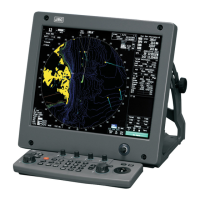
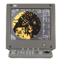
3.8 Applied Operations
y
y y
3.8.8 Set Navigation Data Display (Multi Window Setting)
By performing the following operation, it is possible to display navigation data of the wind direction /
velocity, water depth and the like, as a graph of the display.
Procedures 1 Press the [RADAR MENU] key twice.
2 Press the [3] key.
3
The Multi Window Setting menu will appear.
Detailed settings of the display are possible by changing the settings of each item.
[1] DIR / DIST EXP Display
• Determine whether to expand the value display of cursor, EBL, and VRM.
• The value display is expanded in digital information area 2.
• When the cursor mark moves on the PPI, the display of cursor information is expanded.
• When an EBL or VRM is operated, the value display of each marker is expanded.
• While the menu is open, any display is not expanded.
Off : Does not expand any display.
On : Expands the display in digital information area 2.
The expanded display remains for 5 seconds after the operation of each
marker, and then it will disappear.
Always On : Expands the display in digital information area 2.
[2] Numeric NAV INFO
• navigation information. Determine whether to display the numeric values of received
• One of two digital information areas is used to display data.
• When navigation data is displayed, the sizes of the target tracking (TT) / AIS information areas are
exclusively decreased.
• Navigation information of the water depth, water temperature, tidal current, wind direction / speed,
and destination is displayed with numeric values.
• Put the cursor on the digital information display Target (menu ① on page 2-27), and press the
[ENT] e navigakey. Th tion data display function is switched between on and off.
Off : Does not display the numeric values of navigation information.
Area1 : Displays the numeric values of navigation information in digital
information area 1.
Area2 : Displays the numeric values of navigation information in digital
information area 2.
3-92

 Loading...