19
Displaying Street Information
You
can choose to display information about
the
street you are
on
instead of displaying
the
two data fields at
the
bottom of
the
display.
To
display street information:
1. While viewing
the
Map screen, press MENU.
2. Use
the
Arrow joystick
to
highlight
Customize
page.
3.
Press ENTER.
4.
Use
the
Arrow joystick
to
highlight
Street
info.
5. Press ENTER.
Changing the Map Orientation
The
default
orientation for
the
Map screen is North Up. This means
that
the
top of the
display represents
true
north. This orientation can
be
changed
so
that
the top of the display
is more useful
to
you.
You
can choose from:
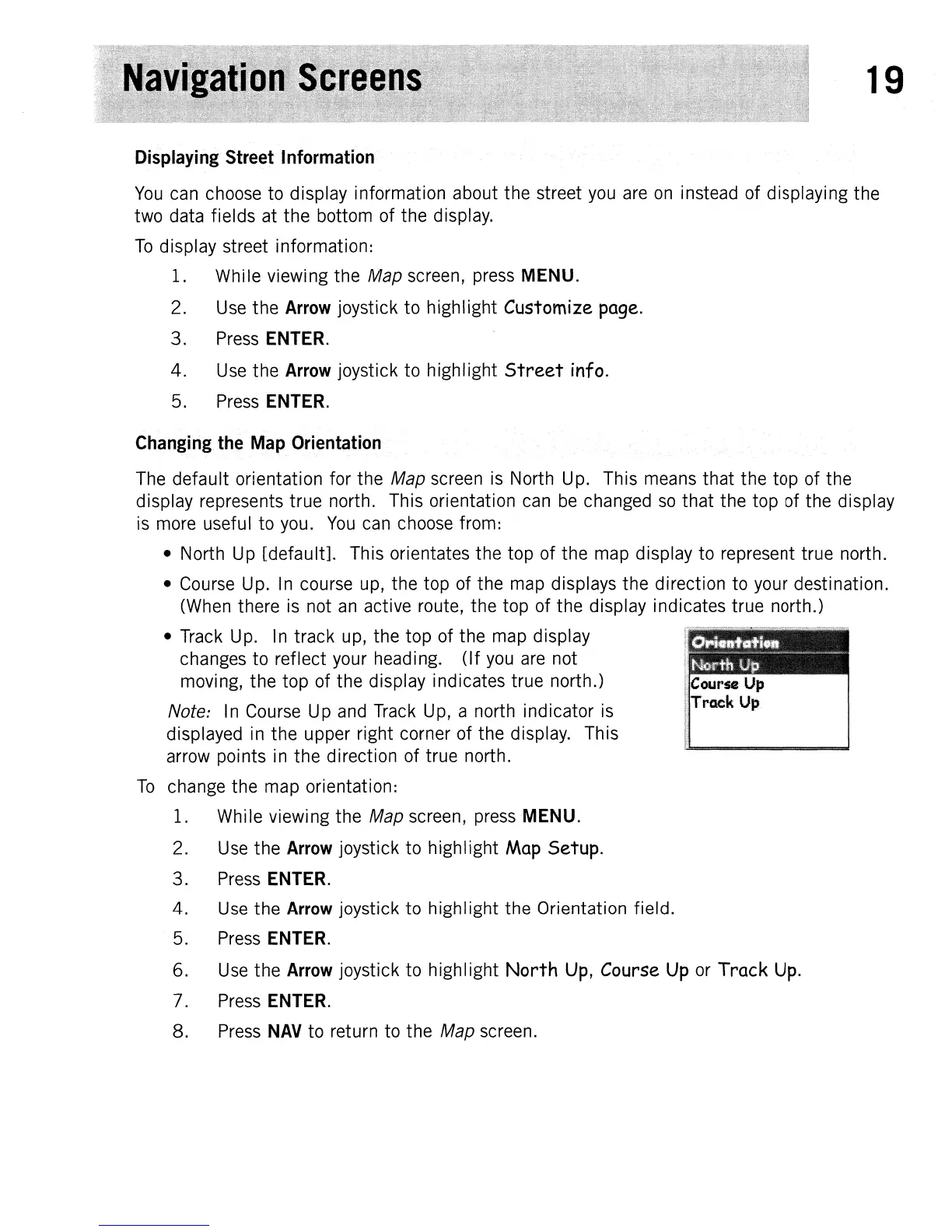
• North Up
[default].
This orientates
the
top
of
the
map display
to
represent true north.
• Course Up. In course up,
the
top of
the
map displays
the
direction to your destination.
(When there is not
an
active route,
the
top of
the
display indicates
true
north.)
• Track Up. In
track
up,
the top
of
the
map display
changes
to
reflect your heading.
(If
you are not
moving,
the
top
of
the
display indicates true north.)
Note: In Course Up and Track Up, a north indicator is
displayed in
the
upper right corner
of
the
display. This
arrow points in
the
direction of true north.
To
change
the
map orientation:
1. While viewing
the
Map screen, press MENU.
2. Use
the
Arrow joystick
to
highlight
Map
Setup.
3.
Press ENTER.
4.
Use
the
Arrow joystick
to
highlight
the
Orientation field.
5. Press ENTER.
6. Use
the
Arrow joystick
to
highlight
North
Up,
Course
Up
or Track
Up.
7. Press ENTER.
8.
Press
NAV
to
return to
the
Map screen.