To define a certain area on the chart, e.g. a fishing
ground, a shipwreck, large rocks, restricted areas, etc.,
or to define a channel to sail in through narrow pas-
sages, make your own coast line or for whatever reason
you could use a drawing on the chart.
,OADCHARTDISPLAY
!CTIVATECURSORLOCATETHEPLACEONTHECHARTWHERE
YOUWISHTOSTARTTHEDRAWING
0LOTTHEFIRSTPOINTOFTHEDRAWING
-OVECURSORTONEXTPOINTTODRAWALINESECTIONFROM
POINTTOPOINT
0LOTTHESECONDPOINTOFTHEDRAWINGETC
Continue to draw line sections in this manner until the
line drawing is complete. If you plot a wrong point by
mistake:
$ELETETHELASTPLOTTEDPOINT
0RESS[ENT] WHENREADYTOSAVETHELINEDRAWING
4HEDRAWINGCANBEGIVENANAMEOFCHARACTERS
'OTOANDSELECTLINECOLOR
#ONFIRMTHEENTRY
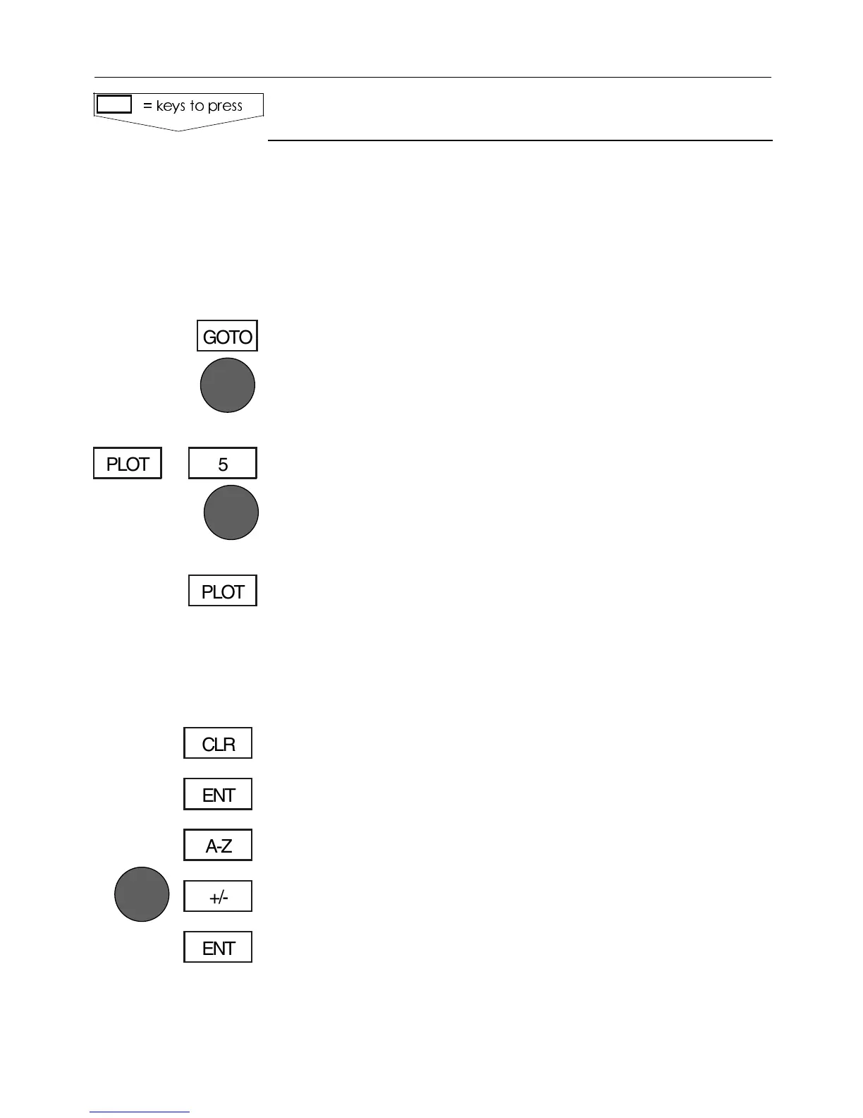
,INESDRAWING
KEYSTOPRESS
GOTO
5PLOT
PLOT
CLR
ENT
A-Z
+/-
ENT
#%-+))7AYPOINTSANDNAVIGATION #HAPTER
59