52 78-8130-6150-0-F
TheinformationfromtheiDmarker,aswellastheGPScoordinates,willdisplayonthe
receiverdisplay.ThisinformationissavedautomaticallyintheReadMarkerHistory.
(See17. Reviewing Marker Read/Write History.)
Ifthemarkerisapassivemarker(ratherthaniD)thereceiverwilldisplay“NoiD
MarkerFound”.TheGPScoordinatesoftheattempttoreadthenon-iDmarkerare
storedintheReadMarkerHistoryasserialnumber#0000-0000-0000.Themarker
detailswillindicate“notaniDmarker”,butwilldisplaytheGPScoordinates.
F. Sending iD Marker Data to GPS (Capture-Transmit Mode / Mode 2)
Menu [6] + COM Setup [SK:3] + GIS
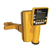
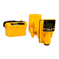
Receiversthathavemarkerlocatingcapability(indicatedby‘iD’inthemodelnumber)
canbeconfiguredtosend3M
™
iDMarkerdatadirectlytosomeGPSdevices.When
aniDmarkerislocatedandread,theinformationreadfromtheiDmarkerwithfeature
andattributedataissenttotheGPSdeviceandisstampedwithlatitude,longitudeand
date/timedata.ThedataacquiredduringthisloggingprocesscanbeuploadedtoGIS
mappingsoftware.Formoreinformationanddetailedinstructionspertainingtospecific
GPSdevices,refertowww.3M.com/dynatelforGPSinstructionsheet.
G. Path Mapping with GPS
TheM-Seriescableandpipelocatorsarecompatiblewithhand-heldGPSdevicesand
nowhavetheabilitytomapthepathofundergroundtargetfacilities.Whilemeasuring
thedepthtothetarget,thetechniciancanautomaticallylogthecoordinatesofthepathto
theGPSdevice.TheseloggedpointscontaintheTracetemplatethatcanhavevaluable
informationregardingthefacility(owner,utility,size,etc.)andthemethodusedtofind
thepath(frequency,current,andmeasureddepth).
InordertotransmitthepathinformationtoaGPSdevice,theGPShastohavethe
abilitytoacceptinformationononeofitscomportsat4800Baud.Usingthemanual
suppliedwiththeGPSdevice,configurethecomportoftheGPStocommunicatewith
thereceiver.
IfArcPad
™
isthemappingsoftwareonthemobiledevice,downloadthe3Msoftware
applicationscriptfromthewebsite:www.3M.com/dynatel
With3M’sArcPad
™
applicationinstalled,thereceiverwillsendthepathinformation
(locatefrequency,depth,current,andtracetemplateinformation)intothesoftware
programasaloggedpointandcanbesavedasa.shpfile.
1. Creating Trace Templates
TheeasiestwaytocreateaTracetemplateisusingtheDynatelPCToolssoftware.The
3M
™
Dynatel™PCToolssoftwareisavailablefreeofchargeatwww.3M.com/dynatel
undertheSoftwaresection;2550/2573/2250M/2273M/1420LocatorPCToolsxx.x.x
(EXExx.xMB).
• CreateaTRACEtemplate.
• Saveanddownloadthetemplatetothereceiver.
UptofourTraceTemplatescanbestoredontheReceiver.
EachTracetemplateislimitedto132usereditablecharacters.