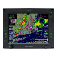
Appendix B – FMS B-5
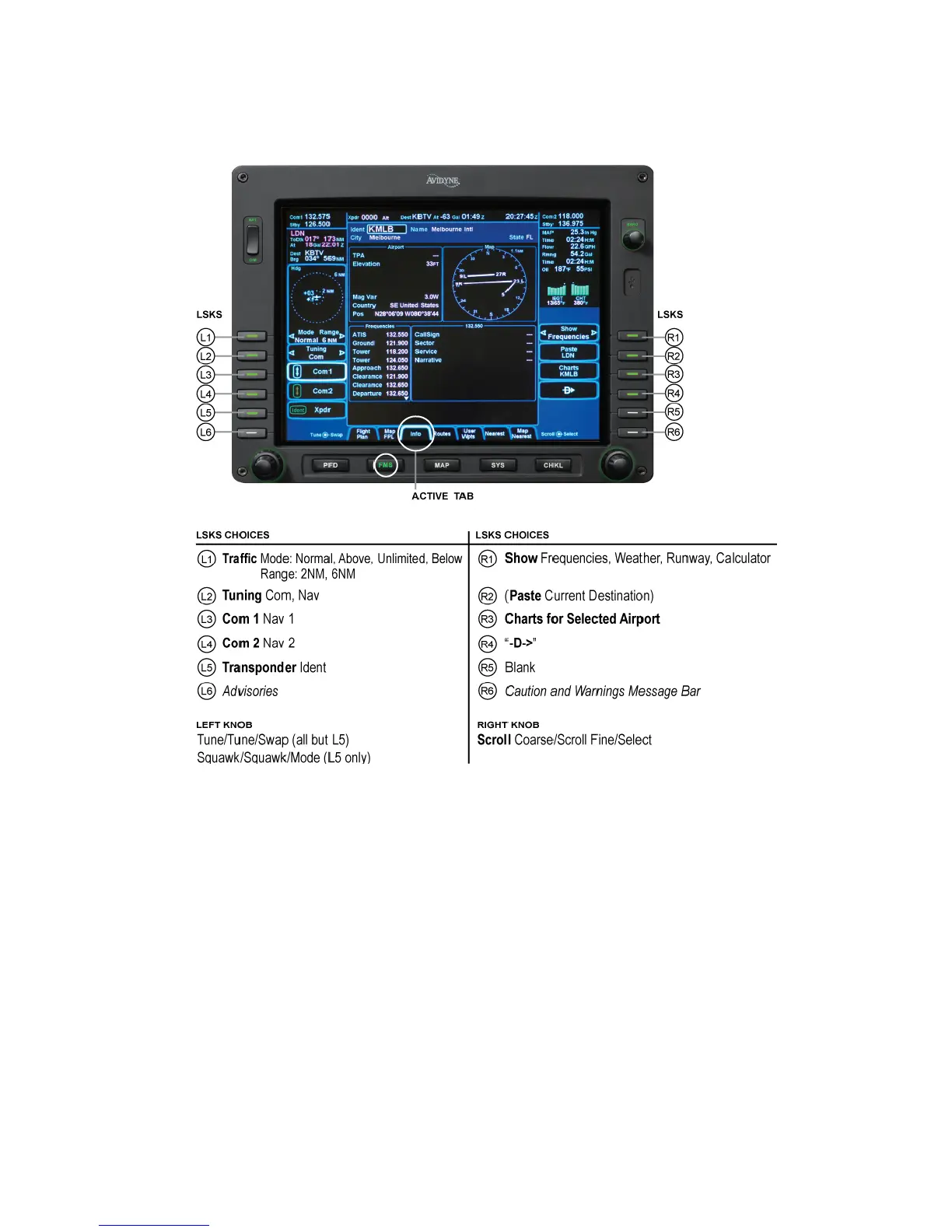
FMS INFO TAB
The FMS Info tab enables you to view aeronautical and Datalink
weather data for waypoints stored in the database. Information
such as frequencies, runways, elevations and geodetic location,
normally found in the Airport Facility Directory (AFD), is found on
this page. It also can display METARs and provide the sunrise
and sunset times as well as the latest density altitude data for the
waypoint.
Note: If METARs have been selected for viewing on the FMS Info
tab, ensure a METAR age is being displayed at the top. If it is
not, do not rely on this METAR information and use the data on
the FPL tab instead.
 Loading...