787 Flight Crew Operations Manual
DO NOT USE FOR FLIGHT
Warning Systems -
System Description
Copyright © The Boeing Company. See title page for details.
D615Z003-TBC 15.20.25
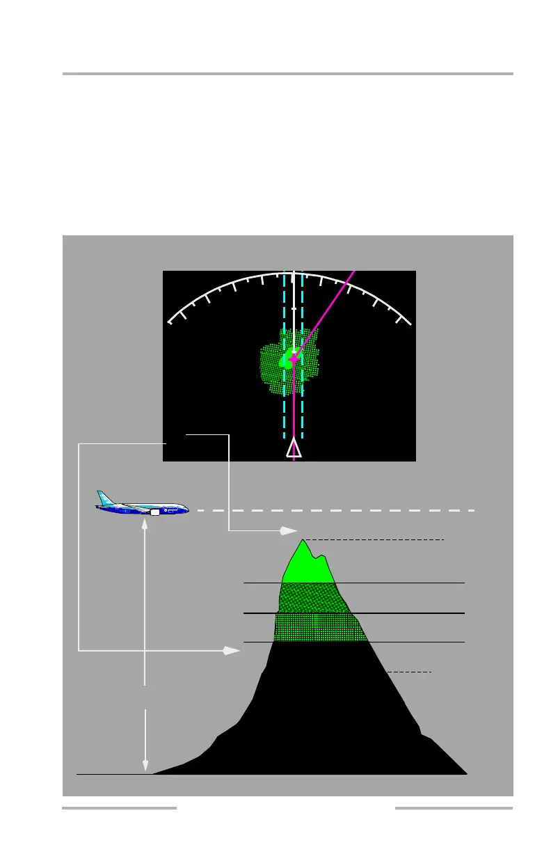
[Option – Lookahead peaks]
When the airplane is higher than 2,000 feet MSL above the terrain, obstacles and
terrain peaks are displayed using solid, high density dotted, and low density dotted
contours of green. The highest obstacles or terrain are represented by solid green,
intermediate height obstacles or terrain are represented by high density dotted
green, and the lowest obstacles or terrain are represented by low density dotted
green.
[Option – Lookahead peaks]
HIGHEST BAND
LOWEST BAND
(MAXIMUM ELEVATION NUMBER)
HIGH DENSITY GREEN
MEDIUM DENSITY GREEN
LOW DENSITY GREEN
BLACK
MIDDLE BAND
REFERENCE
ALTITUDE
SEA LEVEL
(MINIMUM ELEVATION NUMBER)
Aircraft at High Relative Altitude
TERR
144
076
9
1
2
1
5
20
MOUNT
Map Display
August 14, 2009