Garmin G1000 Pilot’s Guide for the Socata TBM 850/900
190-00709-05 Rev. D
60
FLIGHT INSTRUMENTS
Altitudes can also be displayed in meters as an overlay (Figure 2-9). Note that the altitude tape does not
change scale.
Displaying metric altitude overlay:
1) Press the PFD Softkey to display the second-level softkeys.
2) Press the ALT UNIT Softkey.
3) Press the METERS Softkey to enable metric altitude overlay.
4) Select the
BACK
Softkey twice to return to the top-level softkeys.
A magenta Altitude Trend Vector extends up or down the left of the altitude tape. The end extends to the
approximate altitude to be reached in six seconds at the current vertical speed. The trend vector is not shown
if altitude remains constant or if data needed for calculation is not available due to a system failure.
The barometric pressure setting is displayed below the Altimeter in inches of mercury (in Hg) or hectopascals
(hPa). Adjusting the altimeter barometric setting creates discontinuities in VNV vertical deviation, moving the
descent path. For large adjustments, it may take several minutes for the aircraft to re-establish on the descent
path. If the change is made while nearing a waypoint with a VNV Target Altitude, the aircraft may not re-
establish on the descent path in time to meet the vertical constraint.
WARNING: Do not use a QFE altimeter setting with this system. System functions will not operate properly
with a QFE altimeter setting. Use only a QHN altimeter setting for the height above mean sea level, or the
standard pressure setting, as applicable.
Selecting the altimeter barometric pressure setting:
Turn the BARO Knob to select the desired setting.
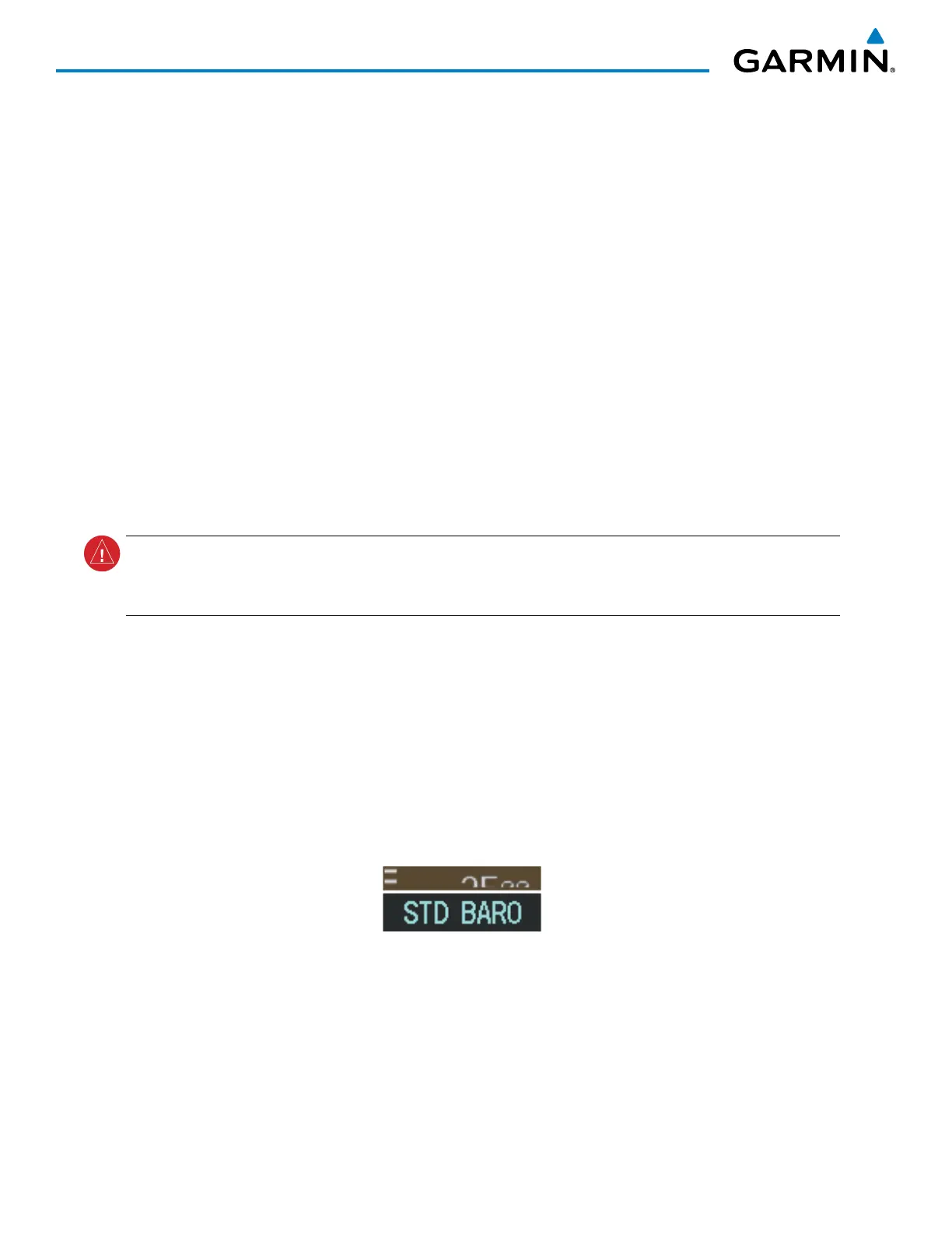
Selecting standard barometric pressure (STD BARO):
Press the BARO Knob to select standard pressure.
Or:
1) Press the PFD Softkey to display the second-level softkeys.
2) Press the STD BARO Softkey.
Figure 2-10 Standard Barometric Altimeter Setting

 Loading...


