Section 4 Operation
79
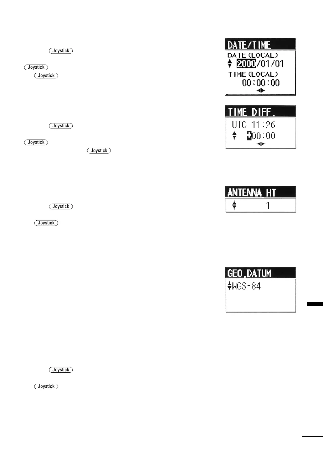
(2) Date and Time (Local)
•You can set the current date and time (local) using this item.
•Press the up or down to select DATE/TIME and push it in
to open the DATE/TIME setting pull-down menu. Press the
up or down to set the current date and time while pressing
the to the left and right to move the setting frame.
(3) Time Difference (UTC-Local)
•You can set the time difference between UTC (Universal Time
Coordinate) and the local time.
•Press the
up or down to select TIME DIFF. and press it in
to open the TIME DIFFERENCE Setting pull-down menu. Press the
up or down to set the difference between UTC and local
time while pressing the to the left or right to move the
setting frame.
(4) Antenna Height
•You can set the antenna height (from sea level) of the GPS/DGPS
using this item.
•Press the
up or down to select ANTENNA HT and push it
in to open the ANTENNA HEIGHT Setting pull-down menu. Press
the up or down to set the antenna height of the GPS/DGPS
sensor. MT (meter) is used for the setting unit and you can set it in
increments of 0.1m.
(5) Geodetic System
•In this item, you can set the data type of the Geodetic System the
GPS/DGPS sensor uses. In preparing charts or maps, cartographers
rely on a particular geodetic datum or scaling system (Geodetic
System) on which to calibrate the Latitude/Longitude coordinate
structure onto their charts. The GPS/DGPS sensor also calculates the
vessel’s position using the same Geodetic System. If the data type used
in the Geodetic System by cartographers and the GPS/DGPS differ,
the positions calculated by the GPS/DGPS may be considerably
different, up to 200 m, from those in the charts. Therefore, it is
necessary to set this item so that both sides use the same data type.
The data type used is normally listed in the margin on the chart. Set
the same data type.
•Press the
up or down to select GEO.DATUM and push it in
to open the GEODETIC SYSTEM setting pull-down menu. Press
the up or down to select a data type. There are 46 types of
data available currently. Refer to the Geodetic System Table in
APPENDICES p.99 for details.