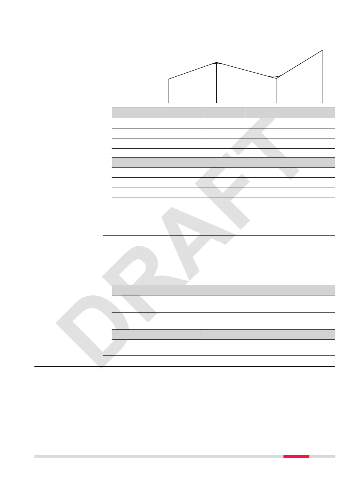
Example
P1 P2 P3 P4
Chainage: 0 200 450 600
Elevation: 200 425 170 285
Length: 0 200 250 150
Key Description
Edit The displayed elds change to editable elds.
First To display the rst alignment element.
Last To display the last alignment element.
Search To nd an alignment element based on the chainage.
Description of elds
Refer to Start pointandExist Element and Dene V Alignment.
After the denition of the alignments, the coordinates for staking can be
calculated.
☞
Using a horizontal alignment le is mandatory.
☞
Using a vertical alignment le is not mandatory. A height can be
dened manually instead.
Key Description
OK To save the data entry and proceed to calculate the coordin-
ates.
Description of elds
Field Option Description
SPACING: Editable eld Chainage increment.
7.10.4 Stake
Stake out points relative to an existing alignment. The height difference is
relative to a vertical alignment or manually entered height.
Edit horizontal and
vertical alignment
Calculate Coordinate
Description
Apps 73
 Loading...