Distance
0.00
Legs
Adv.
~Qtures
PrczfczNr1cczs
Hczlp
About
...
PtsofIntczrtzst
Routes
...------,
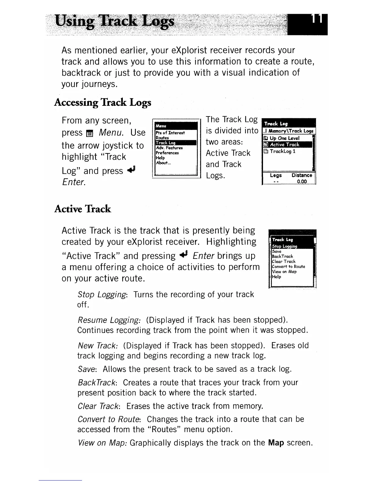
The Track Log
•••••
is divided into ..IlMmory\TrClck logs
~
Up
One level
two areas:
lillCSMM_
Active Track
l:§l
TrClckLogl
and Track
Logs.
As
mentioned earlier, your eXplorist receiver records your
track
and allows you to use
this
information
to
create a route,
backtrack or
just
to provide you
with
a visual indication of
your journeys.
Accessing
Track
Logs
From any screen,
press
~ Menu. Use
the arrow joystick to
highIight "Track
Log" and press
.,
Enter.
Active
Track
ISave
BackTrack
Clear
Track
Convert
to
Route
View
on
Map
Help
Active Track
is
the track
that
is
presently being
created
by
your eXplorist receiver.
Highlighting
"Active
Track" and
pressing"
Enter brings up
a menu offering a choice of activities
to
perform
on
your active route.
Stop Logging: Turns the recording
of
your track
off.
Resume Logging: (Displayed
if
Track has been stopped).
Continues recording track from
the
point when
it
was stopped.
New
Track: (Displayed
if
Track has been stopped). Erases old
track
logging and begins recording a new track log.
Save: Allows
the
present
track
to
be
saved
as
a track log.
BackTrack: Creates a route
that
traces your track from your
present position back
to
where the
track
started.
Clear Track: Erases the active track from memory.
Convert to Route: Changes
the
track into a route
that
can
be
accessed from the "Routes" menu option.
View on Map: Graphically displays
the
track
on
the Map screen.