13
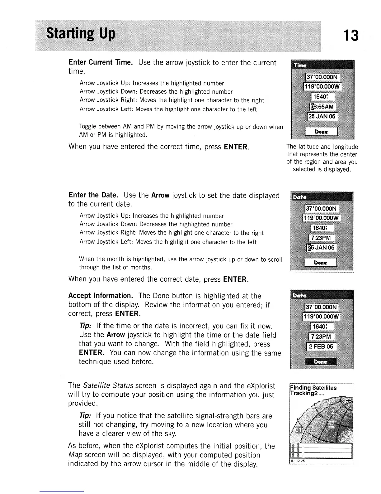
Enter
Current
Time.
Use
the
arrow joystick to enter
the
current
time.
Arrow Joystick Up: Increases the highlighted number
Arrow Joystick Down: Decreases the highlighted number
Arrow Joystick Right: Moves the highIight one character to the right
Arrow Joystick Left: Moves the high Iight one character to the left
Toggle between
AM
and
PM
by
moving the arrow joystick up or down when
AM
or
PM
is
highlighted.
When you have entered
the
correct time, press
ENTER.
Enter
the
Date.
Use the
Arrow
joystick to set
the
date displayed
to
the
current date.
Arrow Joystick Up: Increases the highlighted number
Arrow Joystick Down: Decreases the highlighted number
Arrow Joystick Right: Moves the highIight one character to the right
Arrow Joystick Left: Moves the high Iight one character to the left
When the month is highlighted, use the arrow joystick up or down to scroll
through the Iist of months.
When you have entered
the
correct date, press
ENTER.
Accept
Information. The Done button is highlighted at
the
bottom of
the
display. Review
the
information you entered;
if
correct, press
ENTER.
Tip:
If
the
time
or the date is incorrect, you can
fix
it
now.
Use
the
Arrow
joystick to
highlight
the
time
or
the
date field
that
you want to change. With the field highlighted, press
ENTER.
You
can now change
the
information using
the
same
technique
used before.
The
Satellite Status screen is displayed again and
the
eXplorist
will try
to
compute
your position using the information you
just
provided.
Tip:
If
you notice
that
the
satellite signal-strength bars are
still
not changing, try moving to a new location where you
have a clearer view of the
sky.
As
before, when the eXplorist computes
the
initial position,
the
Map screen
will
be
displayed, with your computed position
indicated by
the
arrow cursor in
the
middle
of the display.
The latitude and longitude
that
represents the center
of the region and area
you
selected
is
displayed.
Finding Satellites
racking2
....
01
12
25