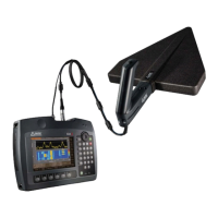
7.7 The Map menu
Narda IDA-3106 151
Determining the transmitter location by distance
calculation (Distance)
Direction Finding • Map • Average Position
The Distance function is used to determine the location of a signal source
based on differences in signal level.
You can find more information about this method under Localizing a signal
source (Outdoor) on page 139.
To use the Direction function:
Bearings are available in an open localization or a saved localization has
been recalled.
1. Press the Map softkey then press the Average Position softkey.
The location cross and circle are displayed.
2. Press the Distance softkey until On appears.
The distance function is activated. Black lines across the bearing
lines indicate the distance determined from the position from which
the particular bearing was taken.
7.7.9 Excluding bearings from the calculation
(Disable Bearing)
Direction Finding • Map • Marker
You can use the marker function to select individual bearings in a
localization and exclude them from the calculation of the location.
To use the marker function:
1. Open the desired localization.
Average Position must not be selected.
2. Press the Marker softkey.
The first bearing is selected and marked in red.
3. Select a bearing using the arrow keys .
4. To exclude a bearing from the calculation of the location, press the
Disable Bearing softkey.
An excluded bearing is shown in gray.
5. To reactivate all excluded bearings, press the Enable all Bearings
softkey.
6. To delete a bearing, press the Delete Bearing softkey.
The selected bearing is deleted from the localization.