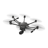
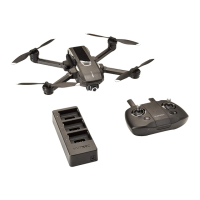
Yuneec Electric Aviation
H520 Start Guide
58
WAYPOINT
A waypoint is a location on a map indicated as a checkpoint for mission planned flights. Waypoints can be
manipulated to cause the H520 to execute different actions at each waypoint. The Pilot can place as many
waypoints as required to complete a mission. Each waypoint can have a different altitude, camera settings,
gimbal settings, or speed. A waypoint can also be configured to stop the H520 and allow the camera to
capture an image at each waypoint (for higher quality, stationary images).
To select a waypoint, either tap on the waypoint or tap the waypoint number on the right-side
menu. The waypoint selected will turn green and expand the options menu. Adjust the Waypoint
options using the menu.
To delete a waypoint, select the waypoint on the right-side menu, tap the three-horizontal line icon,
and tap ‘delete’.
To add a waypoint behind another waypoint, tap the ‘top’ waypoint, tap the three-horizontal line
icon, and tap ‘insert waypoint’, another waypoint will be added after the current waypoint.
To add a waypoint or survey grid after a waypoint, tap the desired waypoint, tap the three-
horizontal line icon, and tap ‘insert waypoint’ or ‘insert survey’.
WAYPOINT SETTINGS
Hold- Checking the Hold box in waypoint settings, will cause the H520 to fly to the waypoint and
hover for the indicated amount of time. After the elapsed time the H520 will move to the next
waypoint.
Altitude- Use the Altitude box to set required altitude for the selected waypoint. H520 will climb
to the indicated altitude once reaching the waypoint.
Flight Speed- This field sets the flight speed from the current waypoint to the next
waypoint. Example: Moving from Waypoint 3 to Waypoint 4 requires a 25 foot gain in altitude,
adding 25 feet to the mission altitude in Waypoint 3 will cause the H520 to gain 25 feet at Waypoint
3 before moving to Waypoint 4.
Altitude is relative to home- Used to indicate the currently selected waypoint altitude is relative to
the Above Ground Level (AGL) altitude of the Home/Take-off location. By checking Relative to
Home box all altitude calculations for the current waypoint will be conducted by adding AGL to
Mean Sea Level (MSL).
Note:
Ensure the area near the waypoint is clear of obstacles.
Example: Home is at a MSL altitude of 1900 feet, the mission is planned at 75
feet. DataPilot™ will automatically calculate the mission flight altitude of 1975
Feet MSL.