AeroNav 900/880 Series Pilot’s Guide
89000039-010
4-58 Map Subsystem Rev 1 May 2019
NOTE
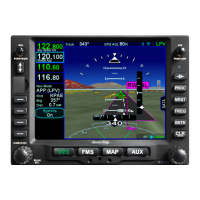
Flight Plan Depictions
The depiction of the flight plan in any SynVis display is
placed 1000’ feet below aircraft altitude. This means
that it will not be visible when flying under 1000’ AGL
during takeoff, enroute and approach phases, nor will it
be visible during ground operations and it may appear
to go underground when descending or over variable
terrain.
NOTE
SynVis Depiction Unavailable In GPS Alignment
SynVis depictions will not be available until the GPS has
reached SBAS state (SBAS/WAAS configurations), or
FDE state (non-SBAS/WAAS configurations).