AeroNav 900/880 Series Pilot’s Guide
89000039-010
4-44 Map Subsystem Rev 1 May 2019
GPS position accuracy is excessively low
Terrain database is invalid or not available
Obstacle database is invalid or not available
Nav database is invalid or not available
Aircraft is on the ground
The system was configured to think an external TAWS
system is present
The option was not enabled
If TAWS had passed self-test and then fails at some point later in the
power cycle, a “bing-bong” chime is issued along with a CAS
message.
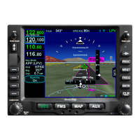
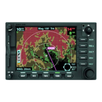
TRAFFIC DISPLAY
When integrated with an optional traffic system (e.g. TAS, TIS, TIS-
B, TCAS), the AeroNav will display traffic information for sensed
aircraft and provide aural and visual alerting for traffic considered a
threat.
Traffic data will always be displayed as an overlay on the map and
can also be selected as a datablock option on the left or right side of
the display. The center of the traffic symbology represents the
horizontal position reference point of the traffic.
The following symbols for traffic systems are displayed both on the
map (all views) and in the traffic thumbnail: