MANUAL – REFLEX EZ-TRAC™ | 10
3 About Surveying
This chapter is a general description of how underground information,
such as the position of a borehole and the direction of an object
inside the hole, may be obtained by surveying with magnetic
instruments.
This chapter also presents different surveying options.
3.1 All boreholes deviate
In spite of technical developments in drilling equipment, it is difficult, if
not impossible, to drill an accurate straight hole. For geological
mapping, geophysical downhole surveys and for economical
evaluation of mineralized rock formation, it is vital to know the exact
position of the hole along its entire length.
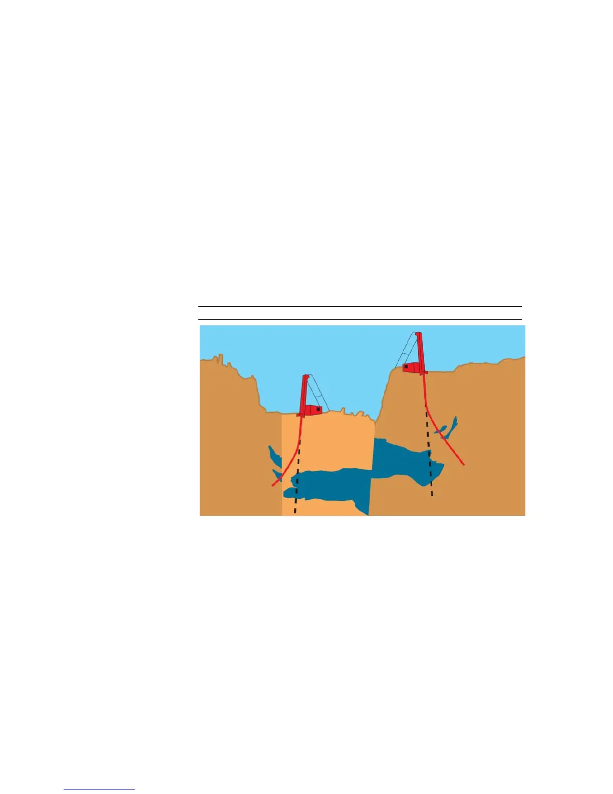
Boreholes may deviate from the planned path in any direction. If you
do not know the exact path of the borehole it becomes difficult to
make accurate assessments, for example, ore volume and location
assessments.
Figure 2 All boreholes deviate
3.1.1 Calculation of underground positions
With the technology of today we can determine positions on land and
at sea with marvellous precision. We can make use of dependable
methods like measuring distance and angles or we can use systems
such as GPS. Below the surface things becomes slightly different.
Spatial coordinates The spatial coordinates of points along a borehole path cannot be
measured directly. However, with mathematical algorithms the
coordinates may be calculated based on a combination of
measurable properties such as distance, curvature, direction of the
Earth’s magnetic field and gravitational field.
Field measurements Magnetic tool calculations are based on measurements in three
directions of the gravitational and magnetic field at a particular depth.