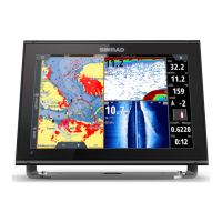
and longitude has a cursor symbol to show this:
36° 29.841’ N or S Latitude
175° 09.012’ E or W Longitude
3-2-2 Chart range
To zoom in and zoom out from chart window
The chart scale is shown at the top left of the chart.
3-2-3 Chart symbols and information
The chart shows many kinds of symbols, such as
waypoints, ports, marinas, buoys and beacons. If
necessary, press
to choose a chart scale where
the symbol is shown.
To see stored information about a symbol:
Either move the cursor to the symbol on the chart •
and wait two seconds or use
Find to move the cursor
to a symbol for a port or service.
A window appears at the bottom of the display with •
some information about the symbol.
To see more detail about a symbol or a list of •
associated items for the symbol, press
:
i• Select an item to display. If there are more items
than will t on the window, press
up or down
to
scroll up or down.
Select a camera icon to display a photo of the item. •
to scroll the photo.
Tide Station to display a tide chart for the position.•
ii•
to return to the chart.
To see stored information about nearby symbols press
and select Chart info. Then follow step 3
above.
3-2-4 To nd and display a chart symbol
> Find > Waypoints or Routes or Ports by name
or Ports & services or Tide stations
For Ports & services: select the type of service to •
nd.
For Ports by name: use •
to enter a name or letters
contained in the port name, then press
.
 Loading...
