100 BD406/PBD406 DV16401.03 Issue 04 May 2021
Description - NavPoint Details View
N 03
/
15
1
/
4
NAME
:
MED
2
INFO:
118.025
ALABAMA
NavPoint identification data view:
NAME: NavPoint name.
INFO: NavPoint info.
2
/
4
N
43
o
25
` ``
16
E 112
o
56
` ``
09
N 03/15
NavPoint position:
Latitude
Longitude
If position is invalid: - (dash) signs are shown.
3
/
4
N
03/15
TBRG: 095
o
031.6 kmDIST:
TC: 123.6
o
Bearing, course, distance view:
TBRG: 3-digits true bearing (related to the true north).
Range 000…359 degrees.
TC: 4-digits device true course over ground taken from GPS
receiver.
Range 000.0…359.9 degrees.
DIST: 4-digits device distance to the target.
Range 000.0…999.9 distance units.
UU: kilometer km or nautical miles NM.
If true bearing is invalid: --- is shown.
If distance to the target is invalid: ---.- is shown.
If true course over ground is invalid: ---.- is shown.
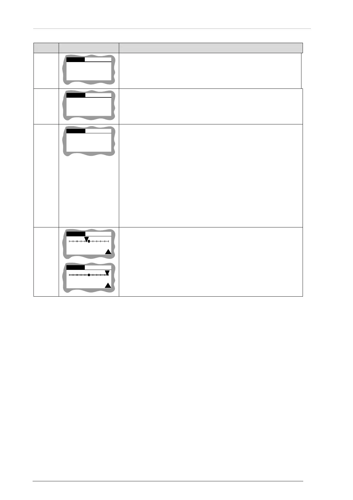
4/4
031
.6
NM
DIST:
ETA:
01 : 20 :56
-2 NM
N 03/15
4/
4
031.
6 NM
DIST
:
ETA:
01 : 20 :56
+18 NM
N 03/15
see description row ID 5 from "Table 7: Mission Mode - Description
Beacon Detail View" page 99.
Table 8: Mission Mode - Description NavPoint Detail View
Notice: Refer to COSPAS/SARSAT documents for definition of protocols, beacon types, 15HexID,
TAC, etc.