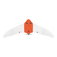
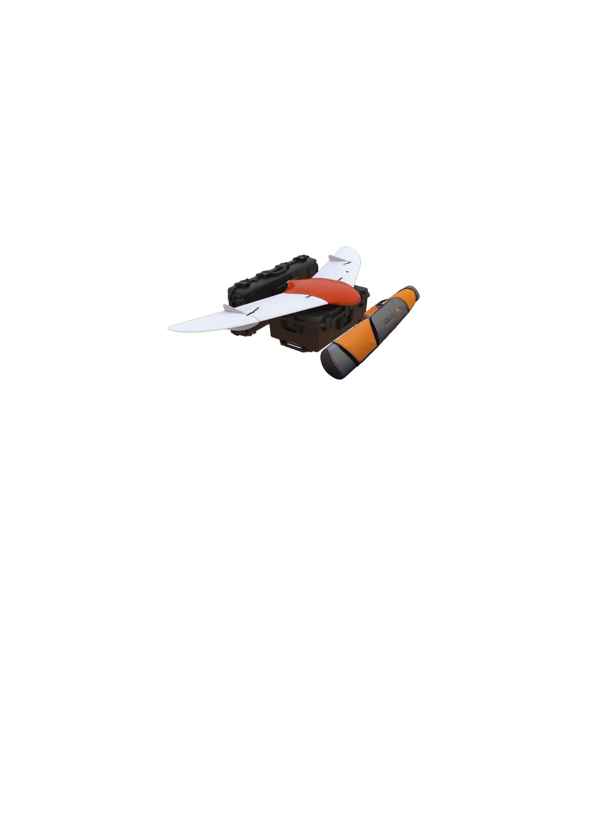
Main Information
Geoscan 201 is an aerial survey system which consists of unmanned aerial vehicle
(UAV), launcher and ight planning software.
The system is designed for geolinked photography of objects and territories. Fields
of application
Obtained data can be used for:
• orthophotomosaic with scale from 1:500 to 1:2000;
• 3D terrain modeling;
• mapping;
• volumetric calculations;
• infrastructural objects monitoring;
• forest and elds health status checks;
• damage control and emergency response (oods, earthquakes, wildres).
7