JSNAV SETTINGS
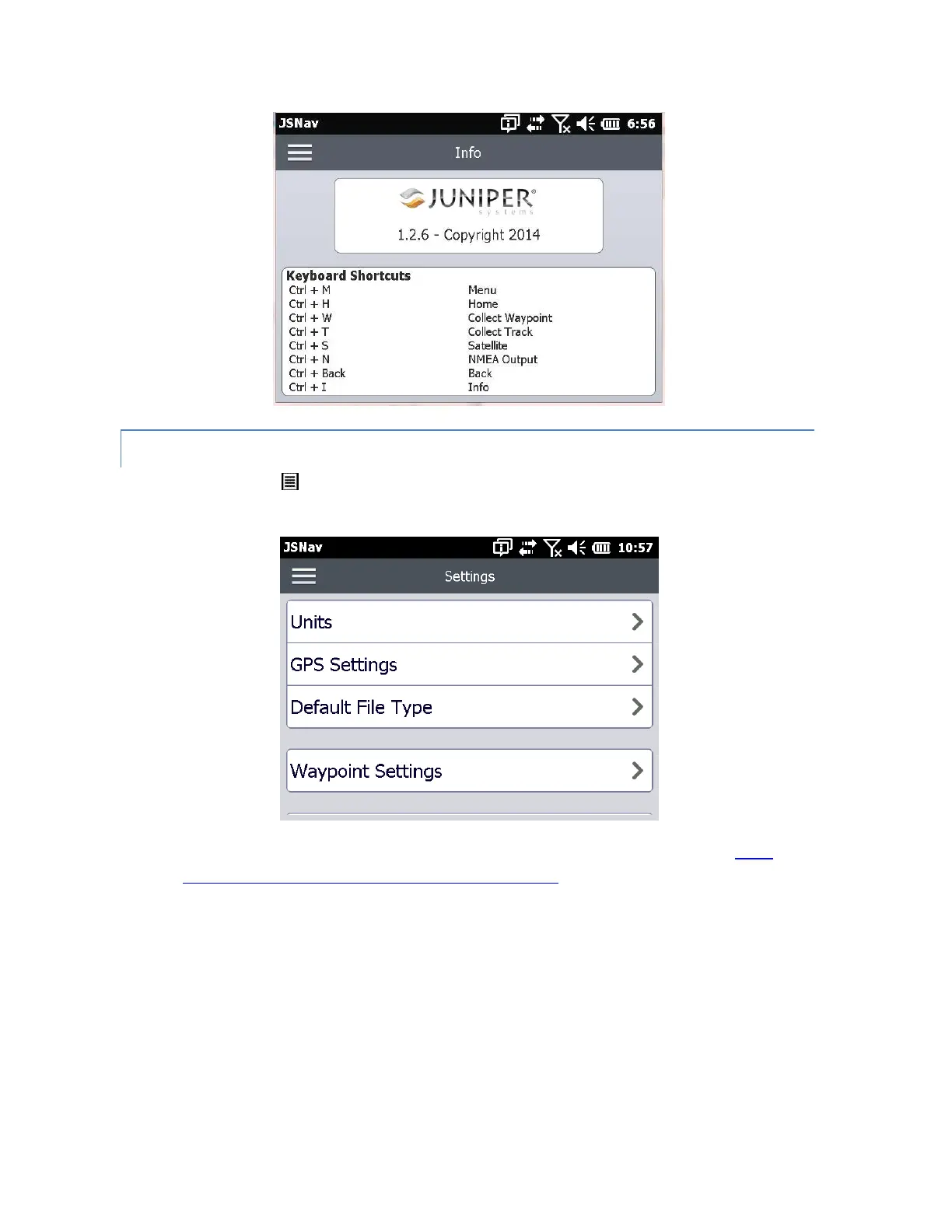
Tap on the menu icon in the upper left corner of the screen, and select Settings from the list.
Go through the menu options to set up JSNav.
Note: These settings only impact the JSNav application. To set up GPS/GNSS go to the GNSS
Settings control panel discussed earlier in this chapter.
Units: Select English or metric units of measurement and the display format for latitude
and longitude.
GPS Settings: Select the maximum PDOP for collecting points, minimum navigation speed
you need to be traveling for navigation to update properly, and the navigation distance
threshold. This is the distance you can be from the point to which you are navigating to
show that you have arrived.
Default File Type: Select .kml (keyhole markup language used in Google Earth) or .csv
(comma separated value). Note that tracks with more than 1000 points default to .csv due
to memory limitations.
 Loading...